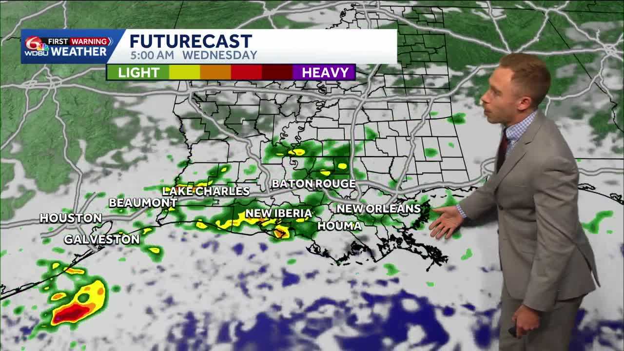
Heads up—it’s been a while! Rain chances return late tonight into Wednesday morning as a disturbance moves through south Louisiana and south Mississippi.
Passing showers and a stray thunderstorm or two are possible Wednesday morning. Most areas that see rain will receive less than half an inch, and some spots may miss out altogether.
The severe weather risk is very slim, though a stray storm with gusty winds or small hail can’t be completely ruled out.
A mix of sun and clouds returns Wednesday afternoon, with highs in the mid to upper 70s and a few spots near 80 degrees.
Cold front arrives Thursday
A strong cold front arrives Thursday as a dip in the jet stream sends colder air toward the Gulf Coast. Temperatures could run 5 to 15 degrees or more below average in some areas, with local highs staying in the 60s Friday through Sunday.
Saturday looks to be the coldest morning, with Northshore wind chills in the mid to upper 30s. Projected morning lows include:
- Friday: Lower 40s Northshore; lower 50s South Shore
- Saturday: Mid to upper 30s Northshore; upper 40s South Shore
- Sunday: Upper 30s to lower 40s Northshore; lower 50s South Shore
Patchy frost is possible Saturday morning in rural areas north of Lake Pontchartrain, depending in part on how much winds relax. Frost isn’t guaranteed, but gardeners may want to protect tropical plants.
Farther north, a first frost or freeze is possible, especially north of the I-20 corridor from Birmingham to Atlanta.
READ MORE:Louisiana Rain Chances Return Wednesday Before a Late-Week Cooldown