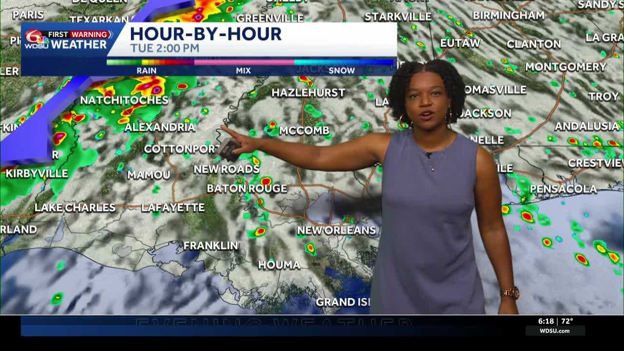
Grab the umbrella before heading out the door Monday! A few showers are possible across southeast Louisiana and southern Mississippi as we start a new workweek. We’re also tracking a cold front that could bring thunderstorms around Election Day.
Today: A Few Showers
Mostly cloudy skies will stick around for much of Monday, with a few showers possible during the morning commute.
Additional passing showers could develop during the afternoon, but rain won’t fall all day.
Temperatures will stay warm for early November, with afternoon highs between 78 and 82 degrees.
Tonight, expect mostly cloudy skies with mild overnight lows ranging from 68 to 72 degrees.
Coastal Flooding Concerns
Persistent easterly winds are keeping water levels elevated along portions of the Louisiana and Mississippi coastlines.
A Coastal Flood Advisory remains in effect until 9 a.m. Monday.
Minor flooding is possible in low-lying coastal communities, especially around high tide. Drivers should avoid flooded roads.
Boaters should also use caution. A Small Craft Advisory remains in effect for many local waters through Monday night due to gusty winds and rough seas.
Election Day: When Will Storms Arrive?
Tuesday starts mostly dry for many communities, making the morning a better opportunity to head to the polls without worrying about widespread rain.
Skies will remain mostly cloudy, with highs between 80 and 83 degrees.
Rain chances gradually increase later in the afternoon, particularly northwest of New Orleans.
Showers and thunderstorms become more likely Tuesday night into early Wednesday as a cold front moves toward our area.
A few storms could become strong, with gusty winds being the main concern. The greatest severe weather risk is currently focused northwest of New Orleans, where a Level 1 out of 5 risk is in place.
However, the overall risk of widespread severe weather remains low. We’ll continue monitoring the timing and strength of the approaching cold front.
Wednesday: Rain Moves Out
Scattered showers and a few thunderstorms could linger into Wednesday morning.
Rain chances should gradually decrease from west to east as the cold front moves through southeast Louisiana and southern Mississippi.
Afternoon highs will generally reach the upper 70s to around 80 degrees.
Late Week: Sunshine Returns
Better weather arrives Thursday and Friday!
Expect more sunshine, lower humidity and mainly dry conditions as high pressure builds across the region.
Afternoon highs will generally remain in the middle to upper 70s, with cooler mornings returning later in the week.
Some Northshore communities could even wake up to temperatures in the 50s, with upper 40s possible in traditionally cooler spots.
The mainly dry pattern should continue into Saturday.
READ MORE:Cloudy start to a new work week ahead of a midweek cold front