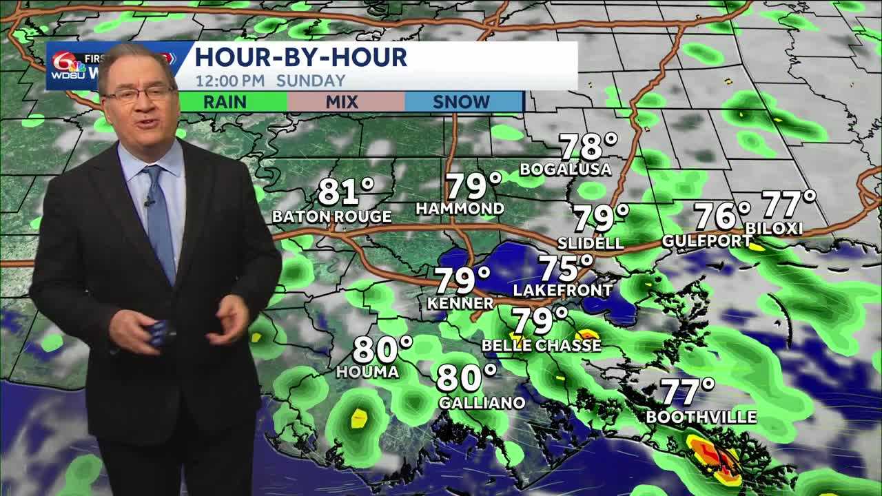
It will be another somewhat wet Sunday for us, as the Weather Prediction Center puts us in the marginal risk category to see some flooding today. The chance for rain is officially at 60%, so not everyone will see the rain, but some of the showers will contain locally heavy downpours that could contribute to some flooding.
Monday will be significantly drier, and some sunshine should be developing by the late morning mid-afternoon. Monday and Tuesday will be dry until a cold front approaches Tuesday night. As the front gets closer, we will see scattered showers and thunderstorms develop late Tuesday into Wednesday morning. There is a chance a few of the storms could be strong to severe and contain some gusty winds.
As the front clears by noon on Wednesday, the drier air will start to move in, and our weather should be significantly more pleasant by the end of the week and into next weekend. Dewpoint temperatures will likely be in the 50s, and humidity will be much more manageable. We have 30 days to go in hurricane season, and the tropics should stay quiet for the next seven days.
READ MORE:Rain could be heavy again on Sunday