Sunshine and low humidity stick around southeast Louisiana and Mississippi today. Afternoon highs will reach 78 to 83 degrees, making it a nice day to spend time outside.
Northeast winds will blow around 5 to 10 mph. No rain is expected.
A chilly night ahead
You may want a light jacket early Wednesday, especially on the Northshore.
Under clear skies, tonight’s lows will drop to:
- Northshore: 49 to 51 degrees.
- Southshore: 56 to 61 degrees.
Wednesday brings more sunshine, with highs climbing to 80 to 85 degrees.
Why are we staying dry?
High pressure is helping keep our weather quiet. The larger weather pattern is limiting the return of humid Gulf air, leaving us with sunny days and cool nights.
Afternoons will gradually warm through the week, with some inland spots reaching the mid to upper 80s. Mornings will stay comfortable.
No meaningful rain is expected through the weekend.
Dry weather raises fire concerns
The sunshine comes with a concern: dry grass and low afternoon humidity can help fires spread.
Avoid outdoor burning, and never toss cigarettes onto the ground. Even with lighter winds, vegetation remains dry enough to burn easily.
Watching the tropics
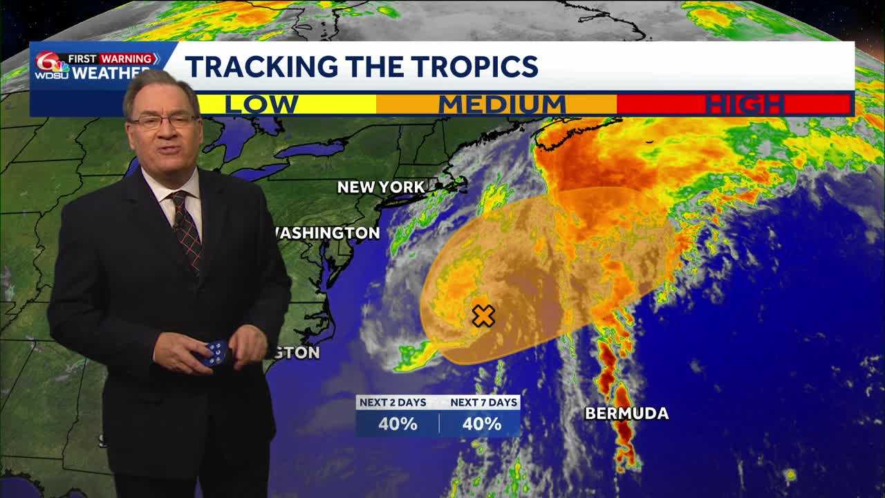
A low-pressure system off North Carolina could gain tropical or subtropical features this week. The National Hurricane Center gives it a 30% chance of development within two days and a 40% chance within seven days in its early Tuesday outlook.
The system is expected to move northeast, away from the United States, later this week. Strong winds, rough surf and coastal flooding remain concerns for parts of the East Coast.
There is no local tropical threat, and no development areas are highlighted in the Gulf or Caribbean in that outlook.
READ MORE:Southeast Louisiana weather: Sunny days, chilly nights and a gradual warmup