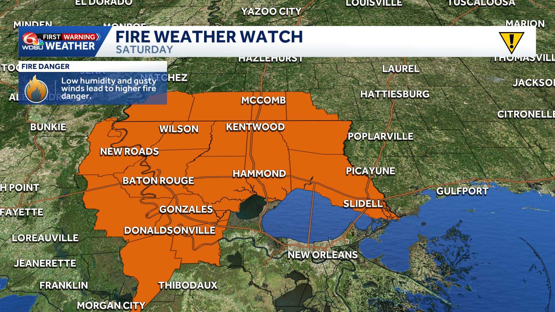
The National Weather Service has issued a Fire Weather Watch for Saturday across large portions of southeast Louisiana and southwest Mississippi as a combination of strong winds, low humidity, and ongoing drought conditions threatens to create dangerous wildfire conditions.
A strong, mostly dry cold front is expected to sweep through the region Friday afternoon. In its wake, a surge of significantly cooler and drier air will move into the area along with gusty northerly winds.
Wind gusts up to 35 mph mph are possible across locations along and north of Interstate 10. At the same time, relative humidity levels are expected to drop into the mid-to-lower 30s, with some areas dropping below 30%.
The parched air and gusty winds present a major safety hazard when paired with severe-to-extreme drought conditions (D1 and D2) already affecting all of southwest Mississippi and much of southeast Louisiana northwest of a line from Thibodaux to Franklinton.
Officials warn that any fire that ignites could ignite dry vegetation quickly and spread rapidly out of control. Outdoor burning is strictly discouraged.
Affected Areas
Louisiana Parishes:
- Assumption
- Ascension (Eastern and Western)
- East Baton Rouge
- East Feliciana
- Iberville
- Livingston (Northern and Southern)
- Pointe Coupee
- St. Helena
- St. James
- St. Tammany (Northern, Southeast, and Southwestern)
- Tangipahoa (Northern, Central, and Lower)
- Washington
- West Baton Rouge
- West Feliciana
Mississippi Counties:
- Amite
- Pike
- Walthall
- Wilkinson
What to Do
A Fire Weather Watch indicates that critical fire weather conditions are forecast to occur. Residents in affected regions should monitor local updates and listen for potential upgrades to a Red Flag Warning.
Avoid outdoor activities that involve open flames or sparks, secure trailer chains to prevent dragging on asphalt, and dispose of cigarettes properly.
READ MORE:Fire Weather Watch: Southeast Louisiana and Southern Mississippi Saturday