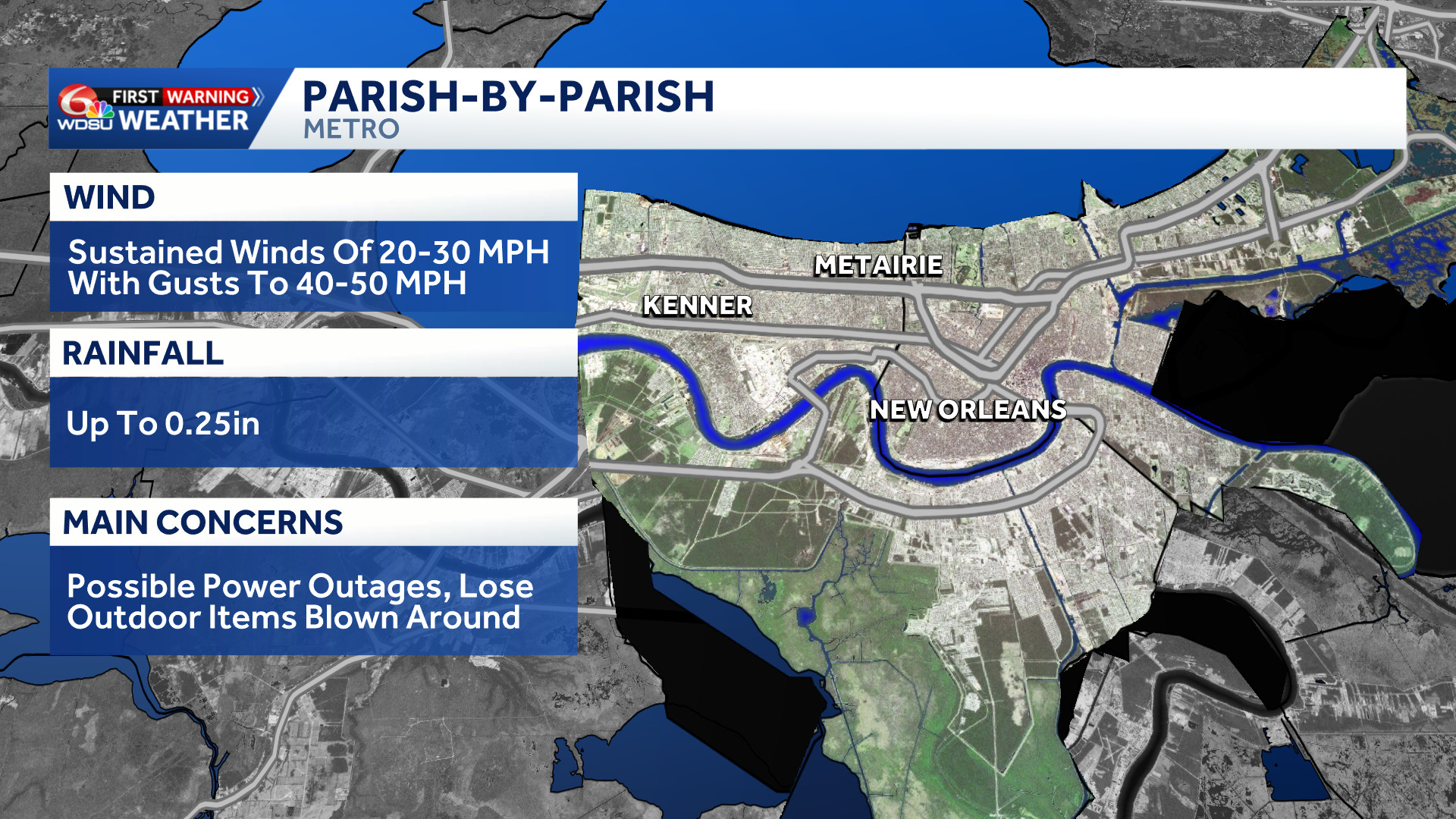
Here are the parish-by-parish impacts to southeast Louisiana based off the latest forecast track of Tropical Storm Isaias from the National Hurricane Center.
NEW ORLEANS METRO:
WIND: Sustained winds of 20-30 mph with gusts to 35-40 mph Friday afternoon through Friday evening.
RAINFALL: Accumulations up to 0.25in with locally higher amounts possible.
IMPACTS: Possible Power Outages and lose outdoor items blown around.
COAST:
WIND: A Tropical Storm Watch is in effect. Sustained winds of 30-35 mph with gusts to 40+ mph Friday afternoon and evening.
RAINFALL: Up to 1-2in of rain and 3-5ft of storm surge.
IMPACTS: Scattered power outages and minor damage to homes and buildings possible.
RIVER PARISHES:
WIND: Sustained winds of 20-30 mph with gusts to 40 mph Friday afternoon through Friday evening.
RAINFALL: Accumulations up to 0.1in with locally higher amounts possible.
IMPACTS: Possible Power Outages and lose outdoor items blown around.
BAYOU PARISHES:
WIND: Sustained winds of 20-30 mph with gusts to 40 mph Friday afternoon through Friday evening.
RAINFALL: Accumulations up to 0.25in with locally higher amounts possible.
IMPACTS: Possible power outages and lose outdoor items blown around.
NORTHSHORE PARISHES:
WIND: Sustained winds of 20-25 mph with gusts to 30+ mph Friday afternoon through Friday evening.
RAINFALL: Accumulations up to 0.25-0.50in with locally higher amounts possible.
IMPACTS: Possible power outages and lose outdoor items blown around.
South Mississippi:
WIND: A Tropical Storm Watch is in effect. Sustained winds of 20-30 mph with gusts to 40+ mph Friday afternoon through Friday evening.
RAINFALL: Accumulations up to 0.50-1in with locally higher amounts possible.
IMPACTS: Scattered power outages and some damage to homes and buildings possible.
READ MORE:Parish-by-parish weather impacts from Isaias in southeast Louisiana