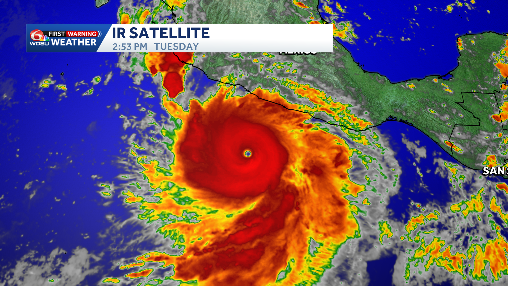
What an absolute buzzsaw. The latest update from the National Hurricane Center has Hurricane Polo rapidly intensifying into a Category 5 storm, with maximum sustained winds of 180 mph and even higher gusts.
Its minimum pressure has plunged to 892 mb. Only Category 5 Hurricane Patricia in 2015 has recorded a lower pressure in the Eastern Pacific Basin.
The good news? Polo is expected to remain offshore over the next several days, with gradual weakening forecast before any potential landfall.
Still, Baja California Sur needs to watch closely. Models remain split on Polo’s eventual track, but Cabo San Lucas and La Paz could begin seeing impacts late Saturday into Sunday. Exactly where and when remains uncertain, but large waves, increased surf and swells, gusty winds, and heavy rain are possible. The storm’s exact track will determine the severity of those impacts.
There is no direct threat to the United States. However, if Polo eventually moves into Mexico, some of its remnant tropical moisture could be pulled north into the Southwest and potentially Texas early next week. It is not an immediate concern, but it is something to watch longer term.
READ MORE:Hurricane Polo rapidly intensifies to Category 5 with 180 mph winds as Mexico watches closely