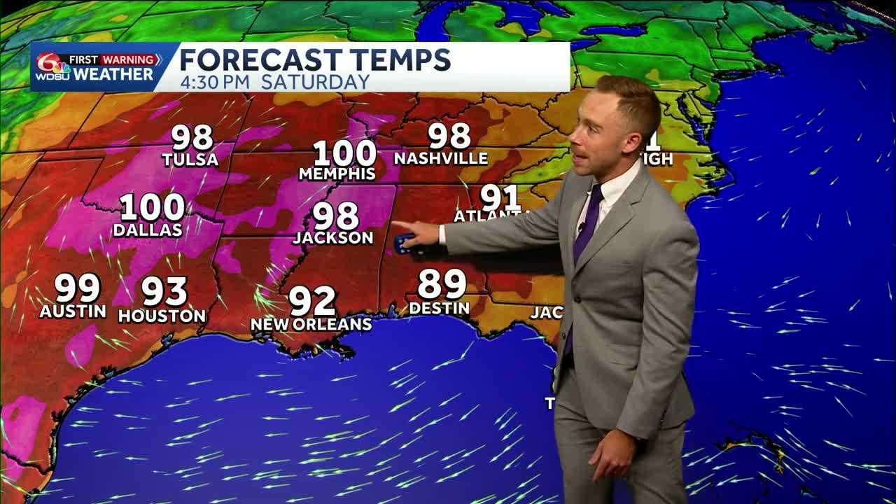
Did you feel it? Humidity was noticeably lower across the Gulf Coast today, and the more comfortable air will stick around through Friday and Saturday.
By Sunday, however, the mugginess will begin to return and linger into early next week.
Rain chances will remain very slim through Saturday, with only spotty showers possible early next week. The reason for the drier weather? A large ridge of high pressure will build across the southern United States, keeping rain chances lower and temperatures above normal and potentially challenging heat records. There’s no real fall relief in sight.
As for the tropics, there’s absolutely nothing to worry about right now. The September slumber continues, with no immediate threats to the Gulf Coast.
Looking 10 to 12 days down the road, the Central American Gyre may become more active across the eastern Pacific, western Caribbean and possibly the Gulf. Some models have hinted at lower pressures and increased storminess, while a favorable phase of the Madden-Julian Oscillation could provide additional moisture late this month into early October.
That doesn’t mean a tropical system will develop. Given this season’s pattern, the eastern Pacific may have the best odds of seeing any eventual development. For now, it’s simply something to monitor as we head deeper into the month.
READ MORE:Dry and hot forecast across the Gulf Coast. Plus, a long-range look at the tropics.





