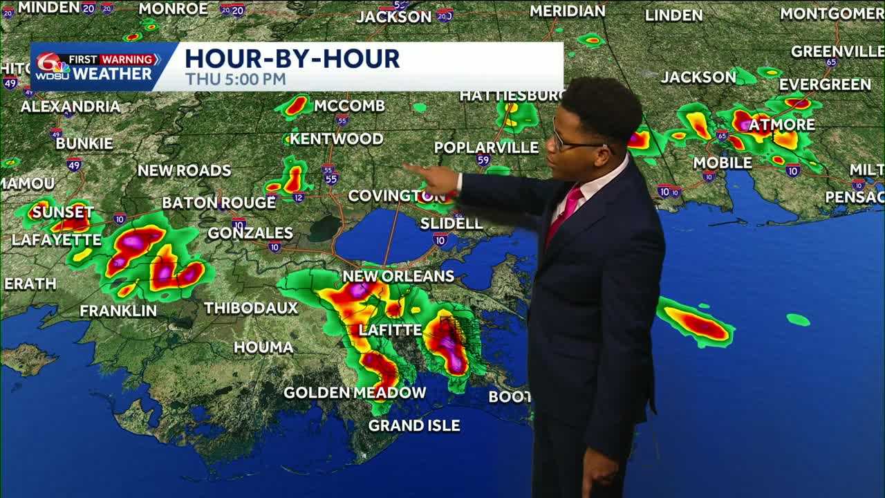
From drought to downpours! Gulf moisture will fuel daily rain and storms throughout the week, with localized totals of 3-5+ inches of rain possible over the next 7 days.
The good news? Added rain chances will lead to daily high temperatures near 90.
Tomorrow will bring hit-or-miss storms, with rain chances around 40–50%, highest along and south of I-10. It won’t be a washout on Wednesday.
WDSU First Warning Weather Impact days will be up Wednesday-Saturday due to heavy rain and thunderstorm potential. Repeated heavy rain could lead to street flooding, while a few stronger storms may bring gusty winds and frequent lightning.
An abundant moisture pattern will be in place across the Gulf coast and southeast Louisiana this week and will help lead to daily chances of showers and thunderstorms for the rest of the week.
A level 1 marginal risk of flooding is in effect for all locations on Thursday and Friday due to heavy rain and storms that could lead to isolated flooding.
1-2in of rain will be possible on the Northshore and 3-5in possible on the South Shore, especially in the Bayou Parishes.
Stay with the WDSU First Warning Weather team for the latest.
READ MORE:Storms in the Bayou: Scattered downpours will drift across Louisiana this weekend, weather forecast





