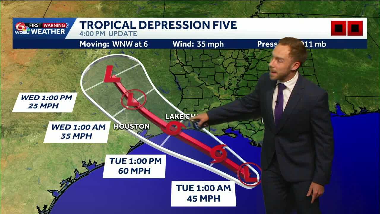
Scattered showers and thunderstorms will continue moving in from the east throughout the day as Tropical Storm Edouard churns over the Northwest Gulf.
Tuesday is a WDSU First Warning Weather Impact Day due to localized heavy rain and a Marginal(Level 1 out of 4) Risk for flash flooding.
Tropical moisture will remain in place through late week, which will likely keep daily downpours in the forecast for much of this week with high temperatures in the low 90s.
Tropical Depression Five:
The National Hurricane Center has increased its intensity forecast for Tropical Depression Five, soon to become Tropical Storm Edouard. The latest forecast now projects a 60 mph tropical storm at landfall Tuesday near Port Arthur, Nederland and Beaumont. A brief run at hurricane strength is possible.
The Tropical Storm Warning has now been extended eastward to the Iberia and Vermilion Parish line in Louisiana. A Storm Surge Watch has also been issued, with 2 to 4 feet of storm surge possible from the upper Texas coast into western Louisiana.
Shown here, the GRAF model highlights a strong tropical storm making landfall along the upper Texas coast. A lot depends on how organized the system becomes today, as it has only about 24 hours remaining over water.
Southwest Louisiana should monitor this system closely, especially with some models bringing the center closer to the Texas and Louisiana state line. Regardless of its exact strength, the primary threats remain heavy rain, localized flash flooding, storm surge and gusty winds. Isolated rainfall totals of 4 to 6 inches are possible near where the center comes ashore. Stay tuned!
READ MORE:Eyes on soon-to-be Edouard: Heavy rain and wind risk to southeast Texas, southwest Louisiana





