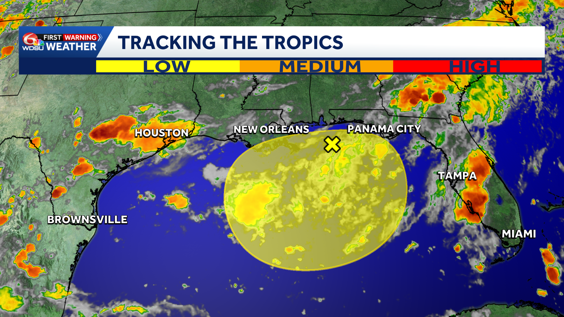
Tracking 2 systems that could develop over the next 7 days.
East Of The Leeward Islands (Remnants of Dolly):
A tropical wave, the remnants of Tropical Storm Dolly, are located several hundred miles east of the Leeward Islands. Redevelopment of this system is unlikely while it moves westward to west-northwestward near 25 mph. The wave could bring locally heavy rains and gusty winds to portions of the Leeward Islands, the Virgin Islands and Puerto Rico over the next several days.
What We Know:
- Development chances 1-2 days: Low, 0%.
- Development chances 3-7 days, Low, 10%.
Threats To Southeast Louisiana And South Mississippi:
This system is forecast to stay weak due to wind shear and dry air over the next several days which will keep it on a westerly course.
It’s possible that it could near Florida and the Gulf by Friday of next week like most of the models show.
While no immediate impacts are expected, this may be something to watch by the end of next week.
Northeastern And North-Central Gulf:
Disorganized cloudiness and showers over portions of the northeastern and north-central Gulf are associated with a weak area of low pressure. Development, if any, of this system is expected to be slow while it remains nearly stationary for the next several days.
What We Know:
- Development chances 1-2 days: Low, 0%.
- Development chances 3-7 days, Low, 10%.
Threats To Southeast Louisiana And South Mississippi:
Moisture is forecast to increase across the area on Sunday and early next week as this system materializes.
Some of our hi-resolution models want to bring this near or over southeast Louisiana on Sunday or Monday.
Regardless of development, rain chances will be increasing late this weekend and early next week.
READ MORE:Tracking the remnants of Dolly and a system in the Gulf





