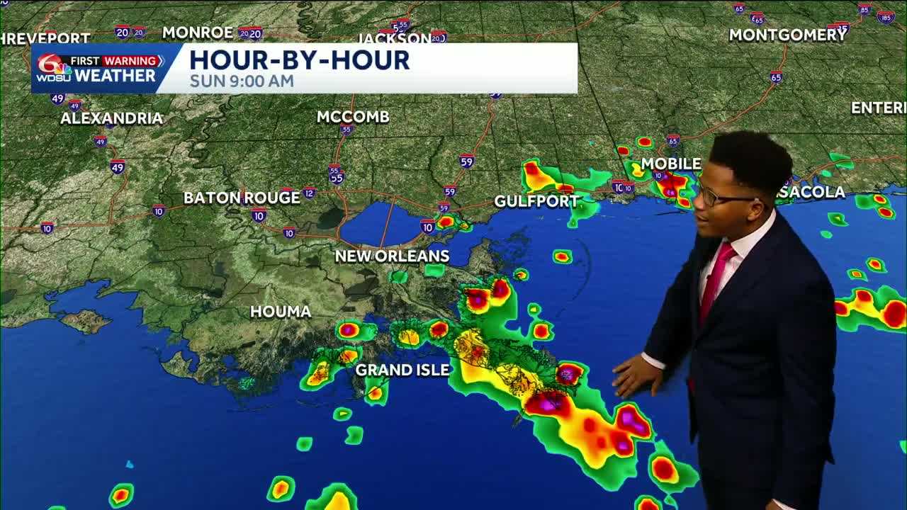
While Friday and Saturday will remain mostly dry with high temperatures reaching the low 90s and rain chances capped around 20%, deep moisture pushing up from the south will trigger a widespread return of thunderstorms by Sunday morning.
Heavy rain potential on Sunday
Rain chances build to 50% to 60% on Sunday as waves of tropical moisture move northward across the region.
Expect heavy downpours and scattered thunderstorms developing early in the day along the coast before spreading north toward the Interstate 10 and Interstate 59 corridors through the afternoon. The Weather Prediction Center has placed Southeast Louisiana under a Level 1 (Marginal Risk) for flash flooding into early Monday.
Seven-day rainfall totals across our area are expected to range from 0.5 inches to 1.5 inches, with higher isolated amounts focused near coastal communities and southern Mississippi. No storm surge or coastal inundation is anticipated.
Dangerous heat returns next week
Storm activity will clear early Monday, opening the door for a stretch of intense late-summer heat.
Daytime highs will climb steadily from 92 degrees on Monday into the mid-90s by Thursday. Humidity levels will keep heat indices between 100 and 106 degrees through the weekend before intensifying significantly toward the middle of next week. Peak heat index values are projected to hit between 110 and 112 degrees by Thursday and Friday.
Isolated afternoon showers and thunderstorms will remain in the daily forecast at 30% to 40% to offer minor relief, but excessive heat advisories may be needed as real-feel temperatures
READ MORE: Louisiana rain chances rise Sunday amid heat and humidity





