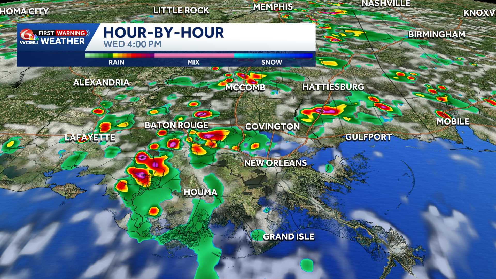
Heads up! Keep an eye on the sky over the next few days.
Wednesday-Friday: WDSU First Warning Weather Impact Days due to the potential for isolated severe weather and localized flash flooding possible.
Each day will not be an all-day washout, but I’d expect to dodge daily storm chances. Spotty to scattered storms Wednesday afternoon. Highs in the low-mid 90s with heat index values 102-108 before the storms.
Storm coverage may increase Thursday/Friday with a localized flash flood threat. Thunderstorms that develop could briefly turn feisty. The main concern will be wind gusts 35-50mph, small hail, intense lightning, and localized heavy rain. An isolated severe storm with damaging wind gusts (60+mph) is possible.
In addition, notice that the Weather Prediction Center has placed a Marginal Risk(Level 1 out of 4) for flash flooding on Wednesday and a Slight Risk(Level 2 out of 4) for flash flooding on Thursday.
Slow-moving storms could bring a localized flash flood risk, and we will need to monitor the threat a bit more Thursday-Friday as storm coverage looks a bit more scattered-numerous. Rain totals of 1-3 inches through Friday expected.
The good news? Many locations have seen drought conditions develop over the last month, so this rain is very beneficial. Plus, the rain chances will keep daily high temperatures down a few notches!
READ MORE:Daily Louisiana storm chances: Isolated severe risk and flash flood threat





