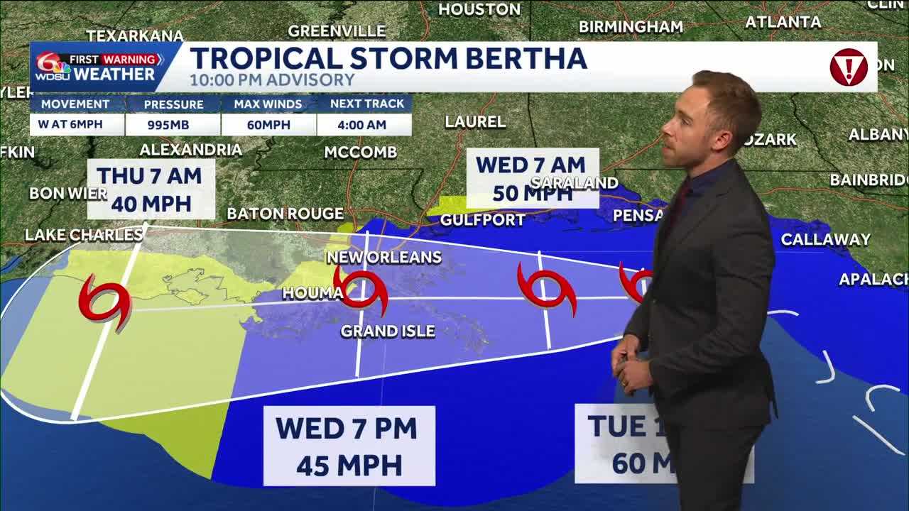
Wednesday is a WDSU First Warning Weather Alert Day due to the tropical storm impacts from Bertha and extremely hot temperatures.
Extreme Heat Warning Wednesday from 10AM-8PM: With exceptionally high humidity and very hot temperatures, it will feel like 110-115+. Some areas along the I-10 corridor from Lake Charles to Lafayette Baton Rouge to New Orleans could see a heat index of 117. Please take the heat seriously!
Tropical Storm Bertha Impacts:
This will NOT be a heavy rain and flooding storm. Most areas will see less than an inch of rain. Hot spots of 2-4″ along the immediate coast. Heaviest rain offshore. We will need to keep an eye on a few rain bands that could bring localized tropical downpours into Thursday morning.
We still need to monitor wind impacts. Inland wind impacts in metro New Orleans 25-45mph expected. Wind gusts 50-60mph possible along coast and storm surge of 2-4 feet outside of levee protection along Eastern Louisiana and Southern Mississippi. 1-3 feet inside of Lake Pontchartrain. Stay tuned.
READ MORE:Alert Day Wednesday: Tropical Storm Bertha Impacts and Extreme Heat Warnings





