Tropics Watch
The National Hurricane Center is currently monitoring two separate areas of interest:
- Far Atlantic: There is an area of thunderstorm activity located off the west coast of Africa, just south of the Cabo Verde Islands. It has the potential to develop a low-pressure system or some rotation down the line, but it poses no immediate threat.
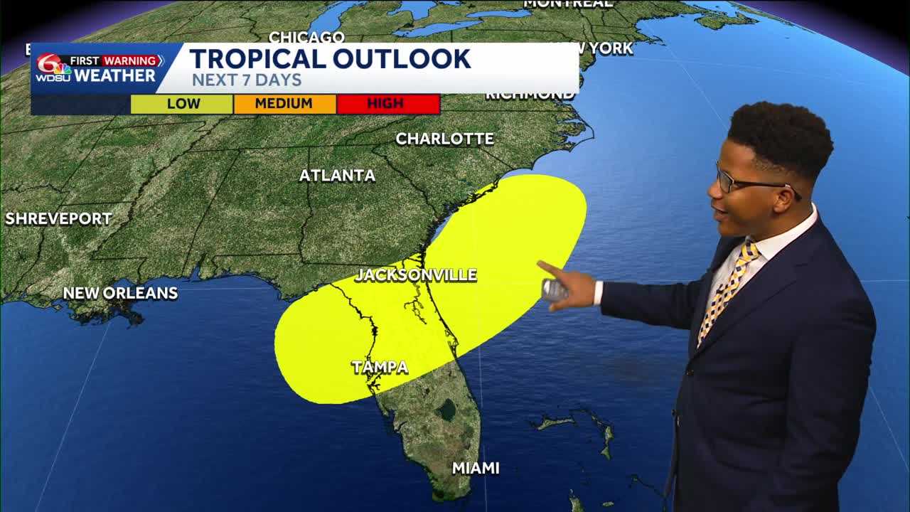
- Eastern Gulf of Mexico: An area closer to home is being monitored near Florida and the eastern Gulf. It currently has a low (20%) chance of tropical development over the next 7 days. High pressure in the northern Gulf is keeping this moisture tucked to the east, meaning the heaviest rain impacts (potentially 5–6 inches) will stay focused over Florida rather than Louisiana.
Local Rain Chances
Because that high-pressure system is lingering over the northern Gulf, it’s funneling drier air into southern Louisiana. This will keep local rain chances exceptionally low through the weekend:
- Thursday: 20% chance of an isolated afternoon downpour.
- Friday – Sunday: Rain chances drop to just 10%. Most of southeast Louisiana will stay completely dry.
- Early Next Week: Rain chances tick up slightly to 20% on Monday and 30% by Tuesday and Wednesday, but widespread storms are not expected.
High Heat & Humidity
While rain stays away, summer heat is out in full force.
- Daily Highs: Actual air temperatures will hover in the mid-90s, starting at 93°F on Thursday and gradually climbing to 97°F by next Tuesday and Wednesday—making it some of the warmest weather seen so far this season.
- Heat Index: With the high tropical humidity, real-feel “heat index” values will consistently push between 105°F and 109°F during peak afternoon hours.
Takeaway: You can safely leave the rain gear at home for most of the weekend, but make sure to stay hydrated and take it easy if you’re spending prolonged time outdoors.
READ MORE:Daily isolated storms as a heat wave builds next week, watching the Gulf





