Get ready for even more heat to finish out the week!
Expect partly cloudy to mostly sunny skies for our Thursday. Highs reach 92-95 degrees with a heat indices reaching 103 at times.
We could see a spotty shower or storm in the afternoon, but most areas will end up staying dry. If you do get rain, it could be a heavy downpour but likely won’t last long.
Overnight lows fall to 75-79 degrees with partly cloud skies.
Highs Friday will be a little warmer with temperatures reaching 94-97 degrees. Over the weekend and early next week, the heat index could reach above 108, potentially triggering heat advisories across the area.
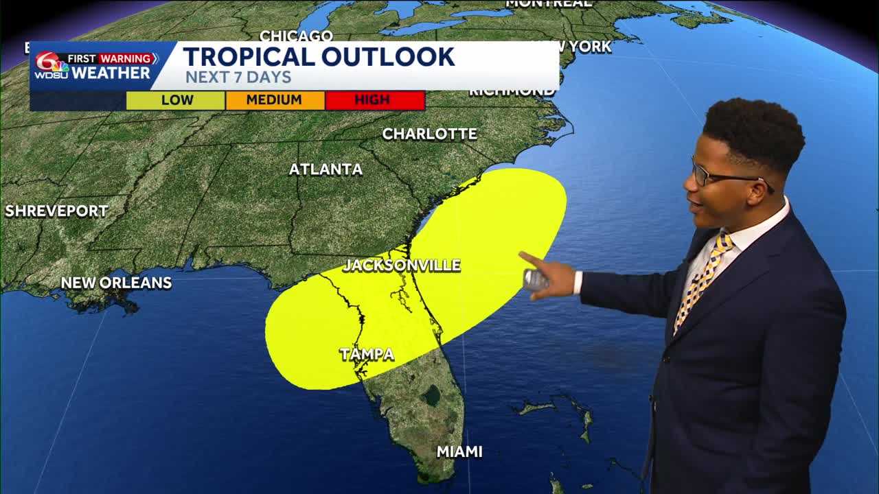
If you’re traveling to Florida this weekend, be on the lookout for storms due to a developing low pressure system. This is an area the National Hurricane Center is watching closely. As of now, it does not look like a lot of rain will move into our area. We may end up seeing a shower or two from this, but most of the activity will stay to our east.
READ MORE:Hot Thursday with a spotty storm chance plus watching the tropics closely





