SPOTTY STORMS FRIDAY
Another dose of daily summer-time storms return this afternoon and evening. You know the drill: Heavy downpours, gusty winds, intense lightning, and isolated areas of flooding all on the table. Not everyone will see rain, but those who do, it’ll pack a punch.
Before the storms, 90-degree heat. Many areas climbing to the low 90s, with heat indices up to 108 degrees.
IMPACT DAYS THIS WEEKEND
Saturday and Sunday are both WDSU First Warning Weather Impact Days as rain chances become elevated with tropical moisture surging into Louisiana and the Gulf Coast.
An increasing threat of heavy rain and flash flooding is developing for late this weekend into early next week.
Tropical moisture will get entangled with an approaching front by Sunday-Tuesday. Multiple rounds of storms with very heavy rain rates may lead to flash flood issues, especially in areas where repeated waves of storms occur.
Expect summer downpours in the afternoon hours. A few storms may become strong with gusty winds, lightning and locally heavy rain. Rain coverage at around 60% each afternoon.
I wouldn’t cancel your weekend trips, but I’d have an indoor backup plan for when thunder roars every afternoon. Expect to dodge daily storms. It doesn’t look like an all-weekend washout, but I’d expect scattered storms each afternoon if you’re heading to the Gulf Coast beaches this weekend into early next week! The good news? It won’t be as hot!
ALERT DAY MONDAY
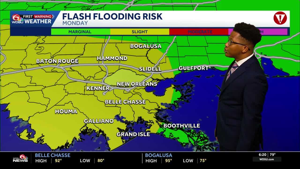
A WDSU First Warning Weather Alert Day has been issued for Monday as an increasing threat of heavy rain develops.
The Weather Prediction Center has upgraded sections of Louisiana and southeast Texas to a slight risk, or a level 2 out of 4, for flash flooding from Monday into early Tuesday. The greatest risk for heavy rain is expected during this timeframe, and additional alerts may be expanded into Tuesday.
Widespread rainfall of 2 to 3 inches is expected over the next five days, with some isolated areas potentially seeing 6 inches or more.
The National Hurricane Center outlines no tropical development over the next seven days, as highs stick around in the 90s back here at home.
READ MORE:Summer downpours Friday-Saturday ahead of heavier rain risk into early next week





