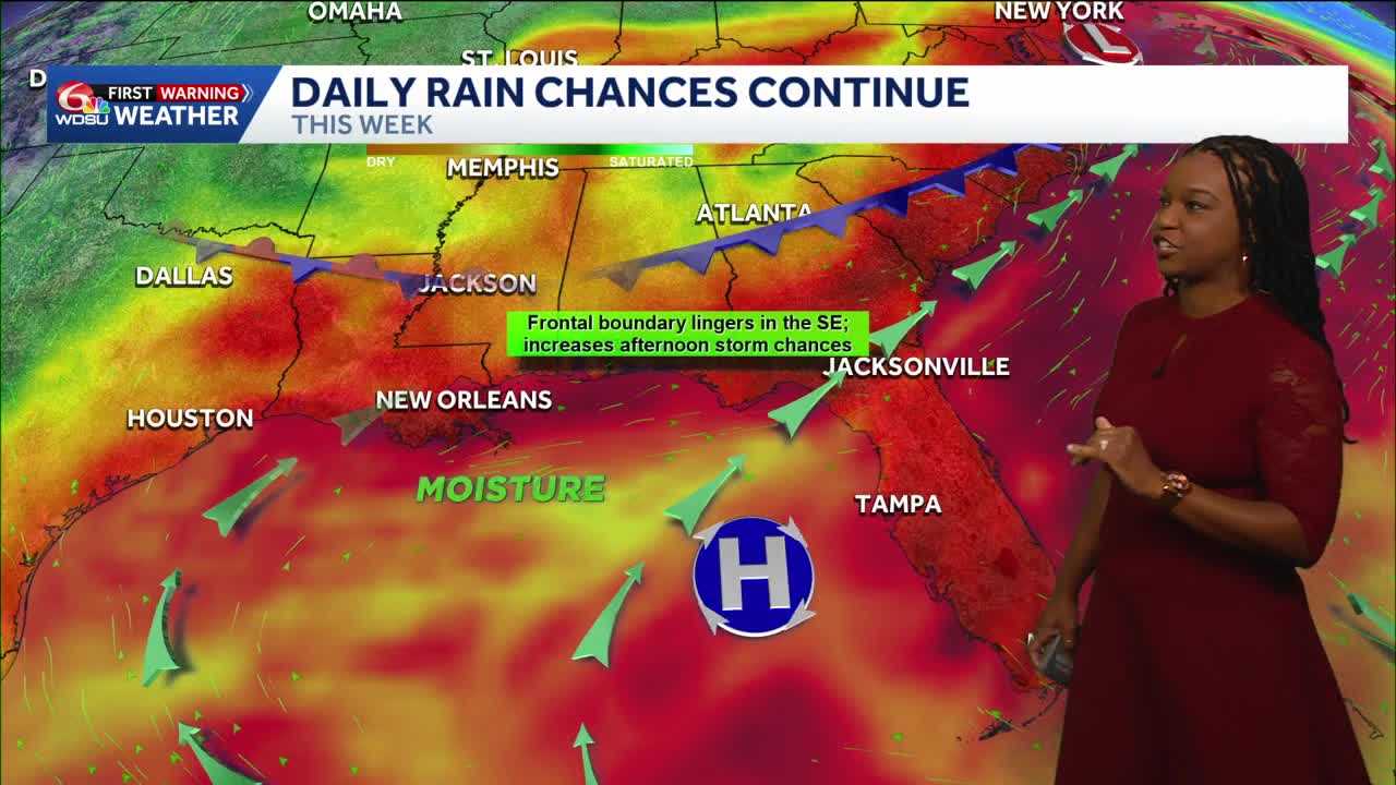
Get ready for another round of heat and pop-up storms in your Tuesday forecast.
Early morning storms arrived over bodies of water this morning and moved inland to spots around Slidell and New Orleans East. These storms produced hundreds of strikes of lightning.
More rain and storms are on the way. The likely timing will be after 2 p.m. as we approach the hottest times of the day. Not everyone will see these, but around half of us will end up seeing storms. Some of these will last 15-30 minutes and could contain heavy downpours.
Highs today reach 90-95 degrees feeling like 100-105+ degrees.
Overnight lows drop to 74-79 degrees. A few storms over water are possible, like we had this morning.
More of the same is possible Wednesday and pretty much into the rest of the week. More round of scattered showers and storms, especially in the afternoon. Highs each day reach 90-95, feeling like the triple digits.
We could see an increased chance for rain over the weekend. A little more than half of us could see storms. Feels-like temperatures will get very close to heat advisory status.
READ MORE:Keep the umbrella with you as more pop-up storms arrive this afternoon, heat sticks around





