Heads up! Tonight through Sunday are WDSU First Warning Weather Impact Days due to the concern for heavy rain and isolated flash flooding.
Few scattered showers and intermittent downpours will continue Friday evening-Friday night.
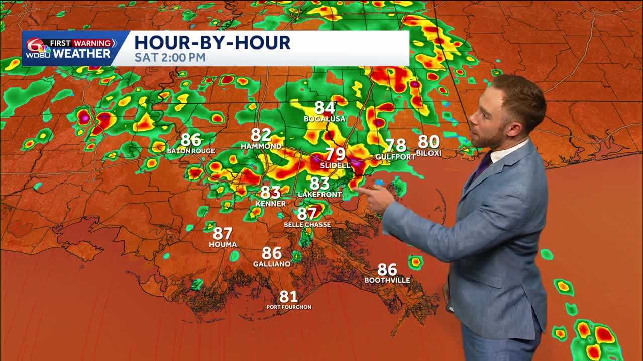
The Weather Prediction Center has upgraded the flood risk to a Slight(Level 2 out of 4) on Saturday. Below is a look at some of the high-resolution model data highlighting the localized street flooding risk.
A slug of tropical moisture in the Gulf will bring the concern for slow-moving storms. While many locations will see manageable .5-2″ rain amounts over the next 48 hours, isolated hot spots of 3-6+ inches possible.
Watch for isolated localized flash flood concerns, especially if any storms move slowly or train over the same areas.
Additional rounds of afternoon storms likely Sunday; however, the overall rain coverage looks more scattered around 40-50%. Hotter and drier conditions into early next week.


