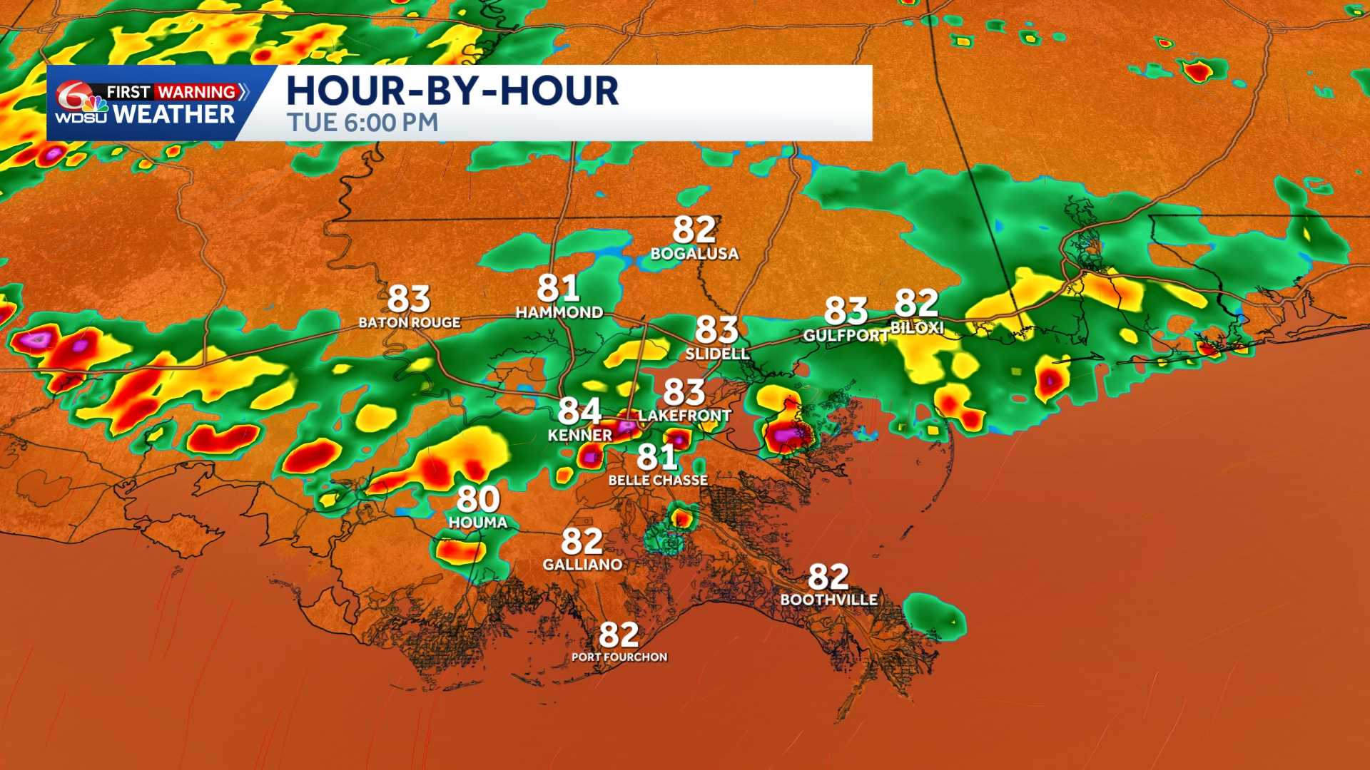
Tuesday is another WDSU First Warning Weather Impact Day for the potential of localized heavy rain and isolated strong to severe storms possible.
Localized heavy rain and a few stronger storms possible Tuesday and potentially again on Wednesday as a rare June front nears the region.
This front will help ignite scattered thunderstorms in the afternoon Tuesday. Isolated severe storm with brief gusty winds, frequent lightning & torrential rain.
The Weather Prediction Center has placed a Marginal(Level 1 out of 4) risk for isolated flash flooding.
By Thursday and into Friday, it’s POSSIBLE that drier air will lower humidity a touch, mainly Northshore and south Mississippi.
Model guidance isn’t sold on how far south this drier air makes it before halting. This drier air may also help lower rain chances a touch before moisture surges back into the area by the weekend. Stay tuned!
READ MORE:Impact Day Tuesday: Strong storms with locally heavy rain risk


