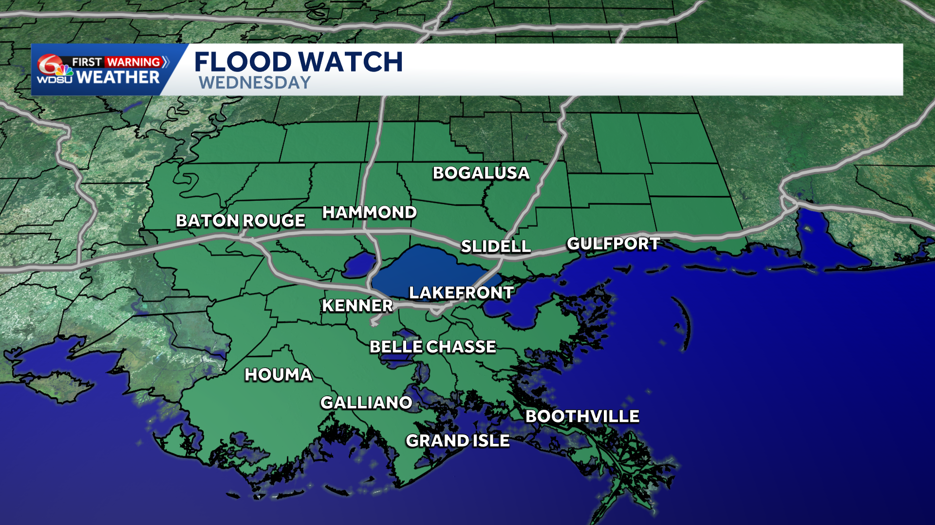
Be aware! Today is another WDSU First Warning Weather Impact Day for the potential of localized heavy rain and flash flooding.
After a brief reprieve from the widespread storms on Tuesday, another round of more numerous storms appears likely by this afternoon. With soils saturated from recent heavy rain over the last week, it won’t take too much rain to cause flood concerns.
These could linger into Thursday morning with localized heavy rain and flash flooding possible. Thursday and Friday are also Impact Days with the concern of additional heavy rain.
A Flood Watch is in place until 7 p.m. this evening. It’s quite possible this gets extended into Thursday. 1-2″ of rain likely with hot spots of 2-4″ possible with any slow moving storms.
By late Thursday-Friday-Saturday, there are signs that some drier air aloft may start to lower our rain chances temporarily; but there remains quite a bit of uncertainty on how stormy late weekend into next week will be. Stay tuned.
READ MORE:Another Flood Watch Issued Today





