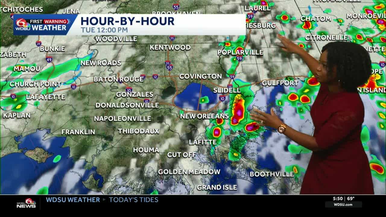
Today is a WDSU First Warning Weather Impact Day as most of the area is under a Flood Watch until 7 p.m.
On top of the rain we’ve already seen over the past couple of days, another 1-2 inches is expected today, which could lead to street flooding for some spots.
Most of the morning commute will stay on the dry side. The rain arrives as we get deeper into the afternoon and the evening.
Showers and storms will grow and could sit over some spots for an extended period of time, leading to localized flooding.
Highs for today will reach 82-85 degrees if not impacted by the rain.
Lows for tonight will fall to 70-77 degrees with a few scattered showers possible.
More rain is expected as we head into the next several days, so the possibility of flash flooding is still here for the next several days.
We could tone down the rain chances as we get to the weekend, as chances will fall to about 40%. Temperatures all week will remain in the 80s.
READ MORE:Impact Day: more heavy rain, street flooding possible, especially afternoon and evening





