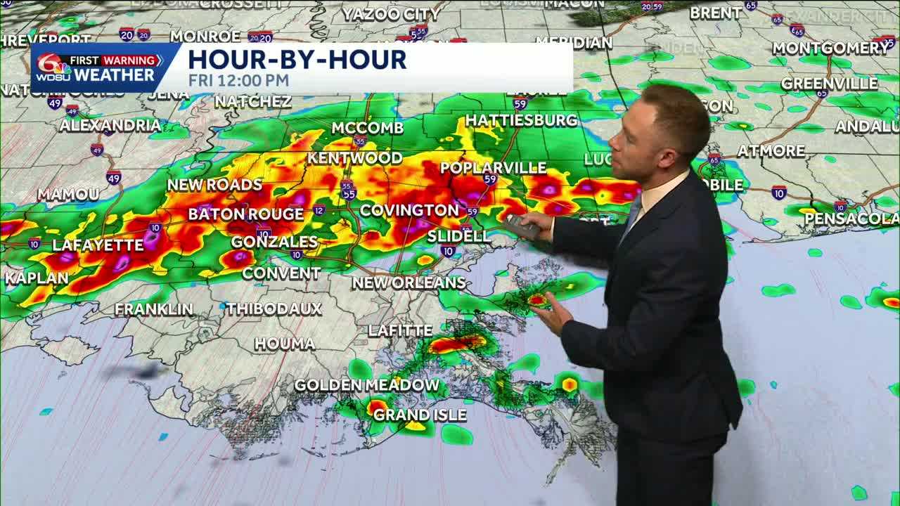
Heads up! Friday through Sunday are WDSU First Warning Weather Impact Days for the potential of localized heavy rain & a few strong to severe storms.
Unsettled, tricky setup late week into Mother’s Day Weekend. It won’t be a non-stop deluge, and we will see breaks; but expect to dodge daily chances for storms.
A few could be strong to severe Friday, Saturday & early Sunday. Main risk of heavy rain, gusty winds, lightning, and small hail. Slim tornado risk.
The takeaway? Intermittent rounds of storms likely to bubble beginning mid-day Friday along the I-10 corridor, and the off/on nature of storms through mid day Sunday could lead to hot spots of 6+ inches over the next 5 days across parts of the Deep South.
We need the rain desperately to help with ongoing drought, but too much of a good thing will cause flood concerns. A lot of questions remain about when, where, and how much rain will fall, so stay tuned with WDSU News as the forecast evolves.
READ MORE:Heavy rain, severe risk tomorrow and into the weekend


