Enjoy one last cool, beautiful start on Tuesday! Lows in the 50s on the Northshore, low 60s on the South Shore.
Warmer, bit more muggy on Tuesday with highs in the lower 80s.
An unsettled weather pattern looks to move in by mid-late week. The details are still unclear, but this setup could be similar to late last week, with multiple rounds of storms. Heavy rain and flash flood risk possible.
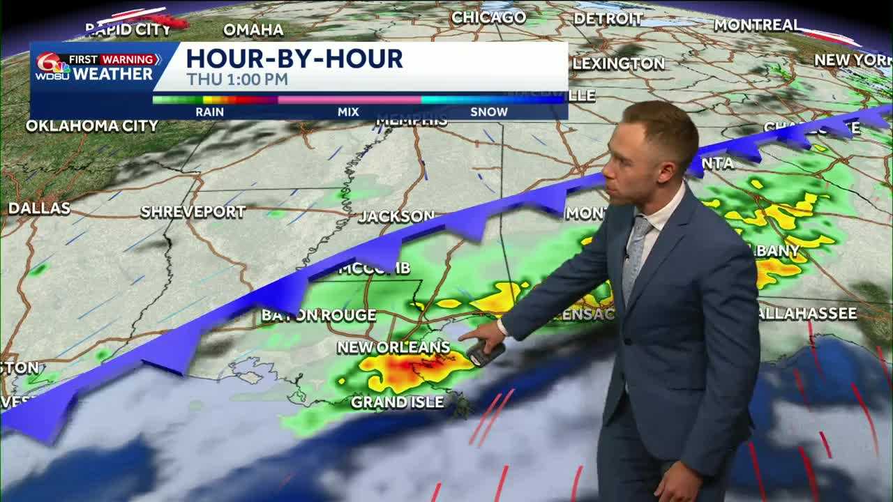
A frontal boundary will approach the Gulf Coast by Wednesday evening into early Thursday. That front should help spark showers and storms, with a few strong to severe storms possible.
Right now, it looks like Thursday-Friday will be the soggiest days. But, that timing could fluctuate as the front may begin to stall. That could allow for on/off rounds of locally heavy rain late week into the weekend.
Yes, we still need meaningful rain to help wipe out the drought…but too much of a good thing could bring a flash flood risk.
Rainfall totals generally look to be around 2–3 inches from late Wednesday through Sunday, but those numbers could easily trend higher. Hot spots of 4–6 inches are possible. Stay tuned!
READ MORE:Warmer Tuesday ahead of stormy setup late week into the weekend


