A big change is coming to how we track hurricanes.
The National Hurricane Center is updating its famous “cone of uncertainty” for the 2026 hurricane season—and it could make a real difference for people across southeast Louisiana.
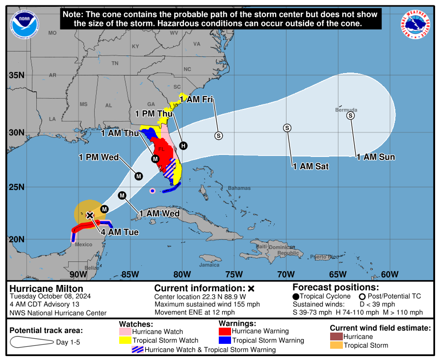
WHAT’S NEW?
The hurricane cone will show alerts inland, not just along the coast.
This means:
- Tropical storm and hurricane watches inside Louisiana will now appear directly on the cone
- Not just coastal parishes—but places like Baton Rouge, the Northshore, and even inland Mississippi could be highlighted
This update is designed to help people realize that danger doesn’t stop at the coastline. Some of the worst impacts can happen away from the coast. For example, the destruction from Ida’s winds inland, power outages reaching north of landfall, downed treens and flooding for areas outside of the cone.
NOAA says the new cone will help communities prepare earlier and more effectively for wind hazards.
KEY FEATURES OF THE NEW CONE
Here’s what you’ll notice when you see it on TV:
1. Inland alerts included
Watches and warnings will be shown across all land areas, not just coastal zones
2. Simpler look
The cone will use one consistent shading instead of multiple layers
3. New symbols
- Areas under multiple alerts (like hurricane watch + tropical storm warning) will have striped markings
THERE’S ALSO AN EXPERIMENTAL CHANGE
The Hurricane Center is testing a second version of the cone too.
Instead of the traditional shape, it will:
- Use oval (ellipse) shapes instead of circles
- Show a wider range of possible storm paths
- Capture about 90% of forecast possibilities (instead of ~67%)
Translation:
You may see a wider cone, because it’s showing more realistic uncertainty.
WHAT THIS DOES NOT SHOW
Even with improvements, the cone still:
- Tracks the center of the storm only
- Does NOT show rainfall flooding or tornado risk
So always remember:
Impacts can happen outside the cone!
READ MORE:Hurricane cone changing this year: here’s what you need to know


