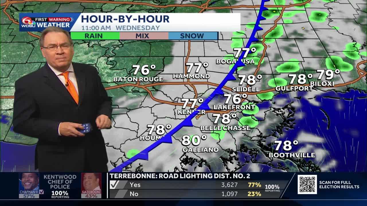
A cold front is moving through Southeast Louisiana today, and we will still see some scattered showers through the midafternoon as the front moves from the northwest to the southwest. Those showers should be done by the late afternoon, and skies will gradually start to clear for us. You’ll notice the cooler air coming in late tonight and especially by early Thursday morning.
This will be an unusual front in the fact that the air gradually gets significantly cooler over the next 3 to 5 days. A reinforcing cold front will likely move through on Friday, and that will bring dewpoint temperatures down for the weekend. An additional front will likely be here on Sunday, and that too will bring even cooler temperatures and lower dewpoints as well.
There’s also an area of low pressure in The Gulf that may bring us some cloud cover Friday into Saturday. This will also produce a little bit of rain, but the significant rain should stay in The Gulf. Although it won’t be a completely sunny weekend, temperatures should be very comfortable, and even a little bit cool first thing in the morning.
In the tropics the Hurricane Center is watching an area of cloudiness with a 50% chance for development over the next seven days, but due to its location, it is no threat to Southeast Louisiana. Other than that, the tropics are quiet.
READ MORE:Temperatures will be significantly cooler next week