Will see another mainly sunny day on Wednesday with afternoon high temperatures in the upper 70s to low 80s and this pattern is expected to continue through at least Thursday.
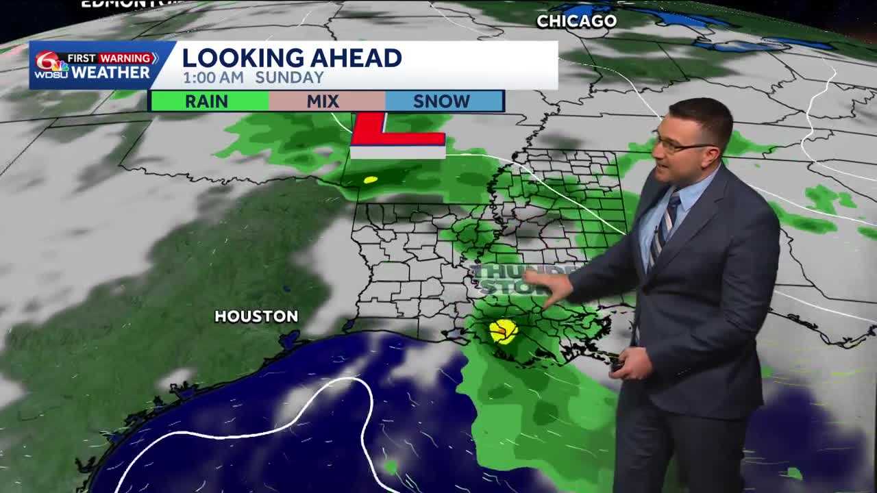
Remnant moisture from Tropical Storm Vance in the eastern Pacific may merge with another disturbance to bring an increased chance of showers and storms to southeast Louisiana this weekend.
A level 1 marginal risk of flooding is in effect for much of southeast Louisiana and all of south Mississippi on Saturday.
Rainfall forecast accumulations of 0.50-1in with locally higher amounts will be possible.
A WDSU First Warning Weather Impact day is up for Saturday. Some showers could possibly linger into Sunday before clearing on Monday. A chance of showers and storms could be possible Tuesday from another system moving in early next week.
READ MORE:Warm and dry weather but watching for rain on Halloween in Louisiana