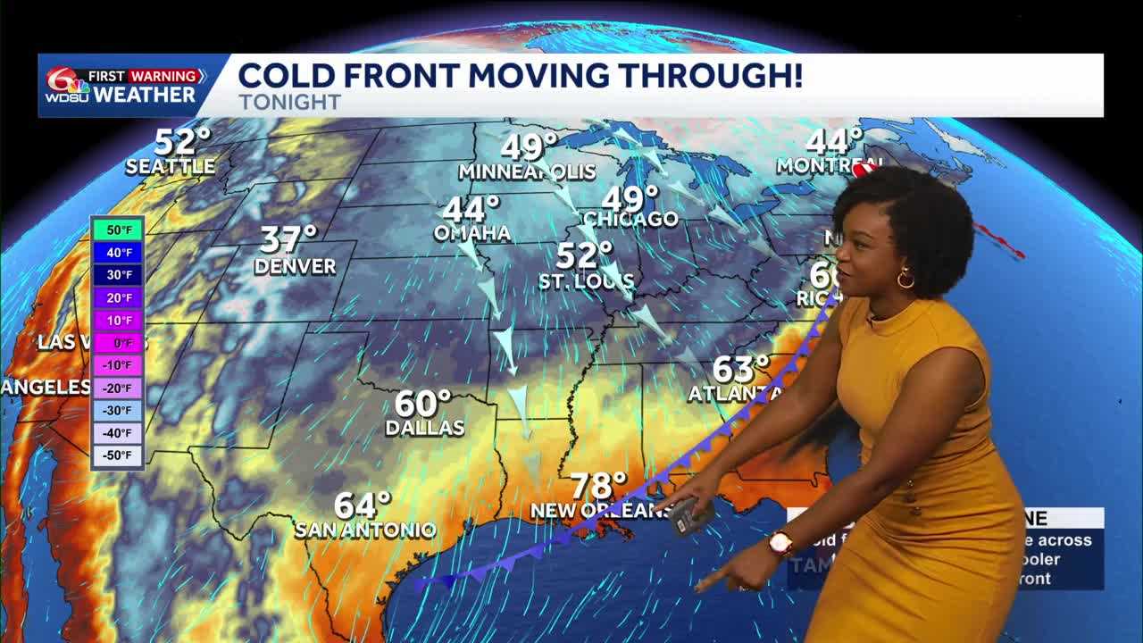
A big change arrives today as a cold front brings gusty north winds and much cooler air to southeast Louisiana and Mississippi.
Highs reach 87 to 90 degrees before temperatures fall tonight.
By Saturday morning, lows drop to 50–52 on the Northshore and 57–59 on the Southshore.
The front is expected to enter the area around noon and move through by evening. Most places stay dry, though a few showers are possible.
A Wind Advisory runs from 4 p.m. Friday until 3 p.m. Saturday across southeast Louisiana and southern Mississippi. Gusts around 30 mph could blow around loose decorations, trash cans and patio furniture. Secure those items before winds pick up.
Saturday brings sunshine, lower humidity and highs of 73 to 76 degrees. A jacket may help for early outdoor plans, especially with the breeze.
The dry air also brings a concern: increased fire danger. A Fire Weather Watch covers portions of southeast Louisiana and southern Mississippi Saturday. Avoid outdoor burning, as gusty winds could help fires spread quickly.
Conditions will also become hazardous on the water. A Gale Warning begins at 7 p.m. Friday and continues until midnight Saturday night for local waters, including tidal lakes.
Winds gradually ease through the weekend. Temperatures begin warming again next week.
READ MORE:From near 90 to chilly mornings: Big weather changes arrive today





