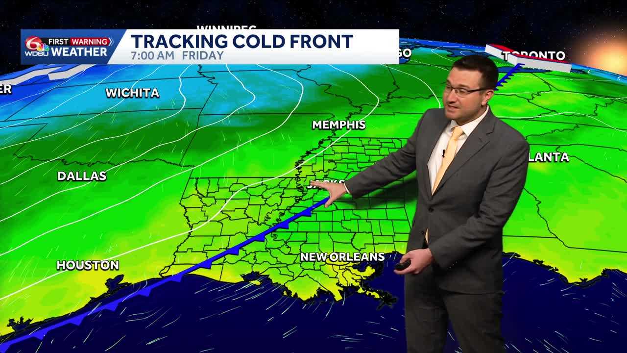
Will see a mix of clouds and sun for Friday with high temperatures in the mid to upper 80s.
High temperatures will be in the mid to upper 80s.
Near record high temperatures will be possible as high temperatures near the low 90s. The record is 92.
A strong cold front will begin to enter the region Friday morning and will pass through Friday afternoon.
Behind the front, temperatures will fall to the 70s Saturday afternoon.
It will be windy with northerly winds gusting over 30 mph on Saturday behind the front.
Because of the strong winds and very dry conditions on Saturday, elevated fire weather conditions are in the forecast and a Fire Weather Watch is in effect for the Northshore and parts of the River Parishes.
A WDSU First Warning Weather Impact Day is up on Saturday due to the Fire Weather Watch.
READ MORE:Another hot day before a much cooler weekend in Louisiana





