Remnants of Fay Return:
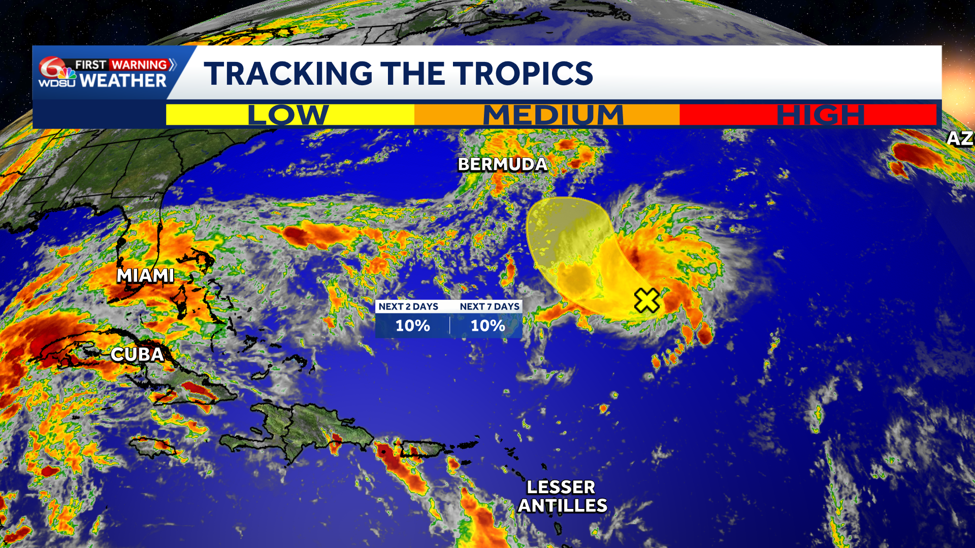
The remnants of former Tropical Storm Fay are producing increased thunderstorm activity over the central Atlantic.
Forecasters give the system only a 10 percent chance of formation through both 48 hours and seven days. It is expected to move northwestward, east of Bermuda, before very strong upper level winds end any development chances by Sunday. There are no concerns for Louisiana or the Gulf Coast.
Watching the southern Gulf late next week:
Something to keep half an eye on into the first two weeks of October.
The Climate Prediction Center’s Global Tropics Extended Outlook highlights a low chance of tropical development near the Bay of Campeche and the Yucatán Peninsula from October 7-13.
While the development potential currently appears low, the front that brings the stormy weather this weekend could leave some “leftover juice” in the Gulf next week.
Ensemble model guidance has been flirting with the idea of homegrown tropical mischief. Water temperatures remain abnormally warm, so we need fronts to start swinging through to cool down the Gulf and put a cap on this hurricane season. Next name on the list is Isaias. Stay tuned!
READ MORE:The Little Storm That Could: Watching Fay’s Remnants and the Southern Gulf