SPOTTY STORMS TO END THE WORKWEEK
Low-impact showers and thunderstorms will drift from the Gulf and into Southeast Louisiana and Southern Mississippi through Friday. Highs will climb to the mid-to-upper 80s each afternoon.
Rain potential will climb as we approach the weekend as a cold front from the west merges with a tropical wave of moisture from the Gulf. The surge of atmospheric moisture will lead to torrential and tropical downpours that could lead to flooding Saturday and Sunday.
SLIGHT RISK FOR FLOODING THIS WEEKEND
The Weather Prediction Center outlines a level 2 of 4 (slight risk) for flooding Saturday and Sunday as the first wave of torrential downpours lifts from the Gulf and pushes northward.
Average rainfall totals through Tuesday range from 3 to 7 inches, with most of the rain falling Saturday and Sunday. The highest rainfall totals will stretch across the Gulf Coast from Louisiana to Alabama.
SATURDAY
Heavy downpours could develop as early as 8 a.m. along the coast before becoming more widespread and peaking at 1 p.m. The rain clears as early as 1 a.m. Sunday morning.
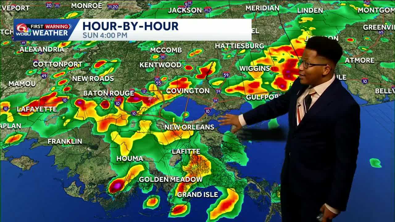
SUNDAY
Heavy downpours could develop as early as 11 a.m., before becoming more widespread, peaking between 3 and 6 p.m. The rain clears as early as 10 p.m. Saturday.
DRIER AIR RETURNS NEXT WEEK
The front seems to win the battle against the tropical wave, pushing a real cold front to the Deep South.
Drier air returns as early as Tuesday, with the coolest morning next week falling on Thursday, with lows across Southeast Louisiana and Mississippi in the mid-60s.
READ MORE:Flood Threat for Louisiana and Mississippi this weekend, with downpours in the weather forecast