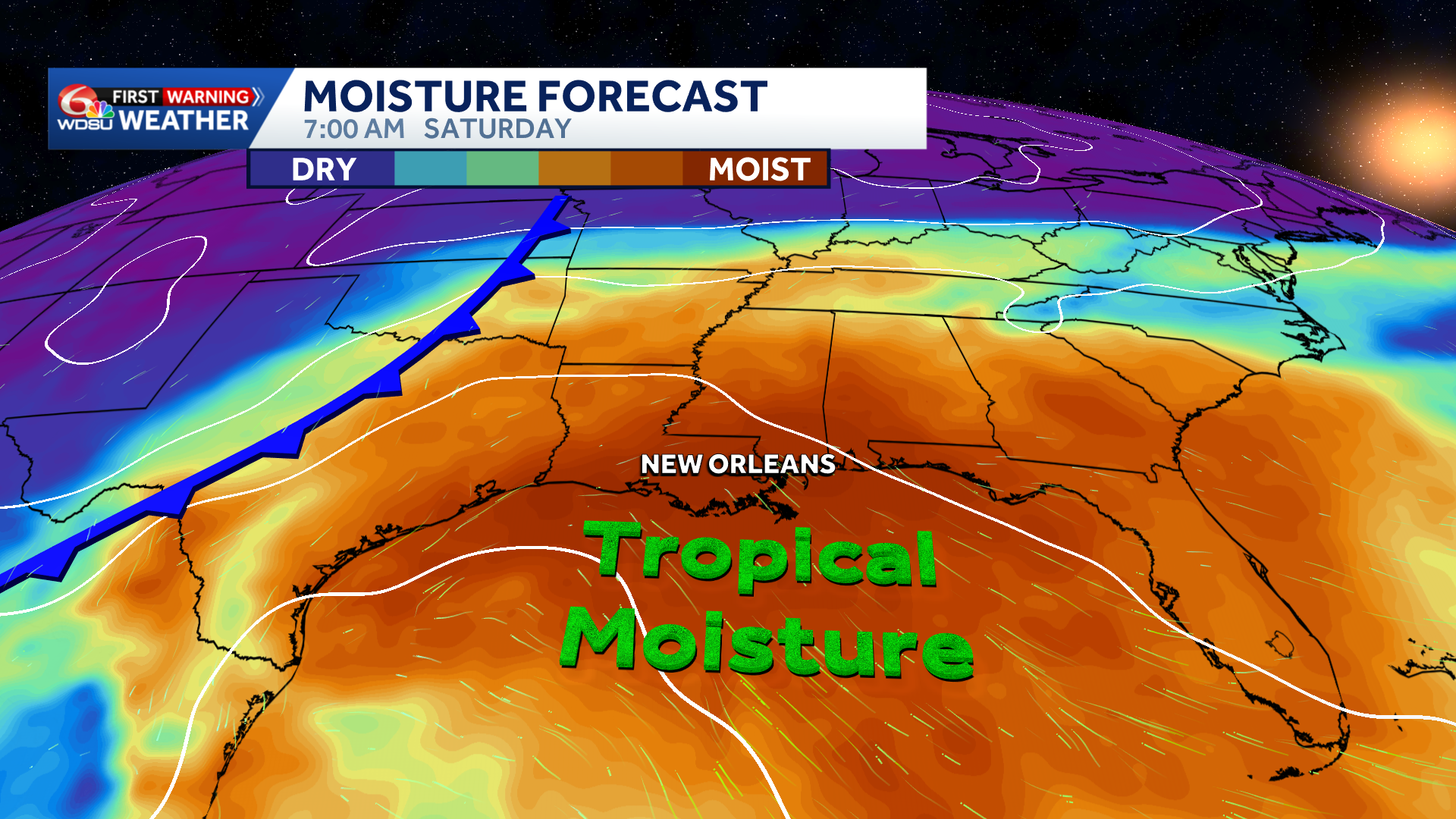
WDSU First Warning Weather Impact Days are in effect Friday through Sunday as tropical moisture raises the potential for heavy rain and localized flooding.
The first half of the week will be mostly dry with slightly lower humidity through early Wednesday. However, it will remain abnormally hot, with highs in the upper 80s to lower 90s.
The pattern is expected to turn more active late in the week as tropical moisture surges north from the Gulf.
Forecast models show a broad area of 2–4 inches of rain across the I-10 and I-20 corridors over the next seven days. Isolated totals of 5–8 inches or more are possible for areas in Texas where a slow-moving front will increase the risk of localized flash flooding.
From New Orleans and Biloxi to Mobile and Pensacola, Friday through Sunday could bring intermittent rounds of storms and heavy rain. Moisture associated with Hurricane Polo’s remnants may interact with a slow-moving front, supporting a broader flood threat across portions of the South and central United States.
Because the exact timing and location of the heaviest rain remain uncertain, WDSU First Warning Weather Impact Days have been issued for Friday through Sunday. This is not a reason to cancel plans yet, but it is a forecast worth monitoring closely as details become clearer.
READ MORE:From Dry and Hot to Stormy: Gulf Coast Rain Chances Increase Late Week