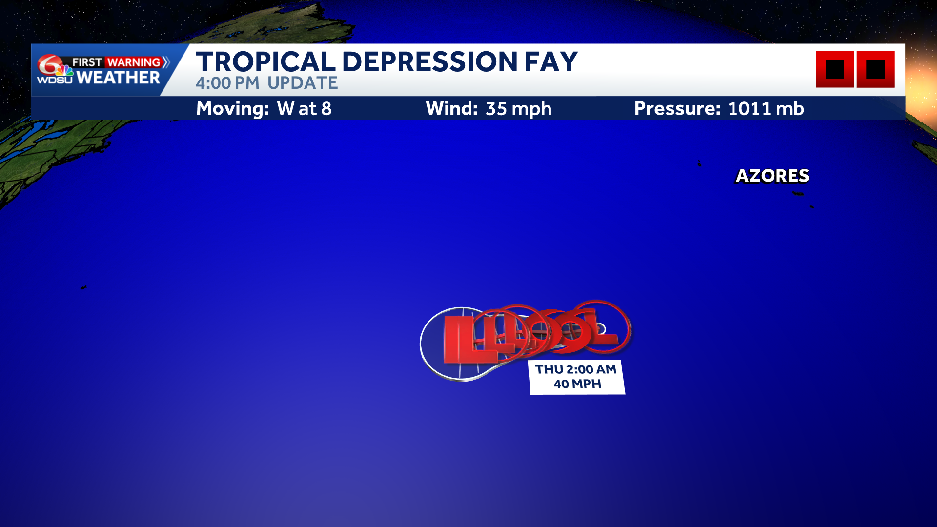
The low pressure remnants of Fay have re-developed and is now a tropical depression again in the Atlantic.
It has winds of 35 mph and is moving toward the west at 8 mph.
It’s forecast to become a tropical storm by late tonight or by Thursday afternoon before weakening by Friday and then dissipating by Sunday.
Fay will drift westward through the weekend over the open waters of the Atlantic.
Far Eastern Atlantic (90L):
An area of low pressure located a couple of hundred miles southwest off the coast of western Africa is gradually becoming better defined, and the showers and thunderstorms has increased since yesterday. This system could become a short-lived tropical depression on Thursday or Friday while it moves northwestward to northward. However, strong upper-level winds should end the opportunity for development by the weekend.
Interests in the Cabo Verde Islands should monitor the progress of this system as gusty winds, areas of heavy rain and flash flooding is possible there by Friday.
90L Development Chances:
- Over the next 1-2 days: Medium, 50%.
- Over the next 3-7 days: Medium, 50%.
READ MORE:Fay has re-developed into a tropical depression in the Atlantic