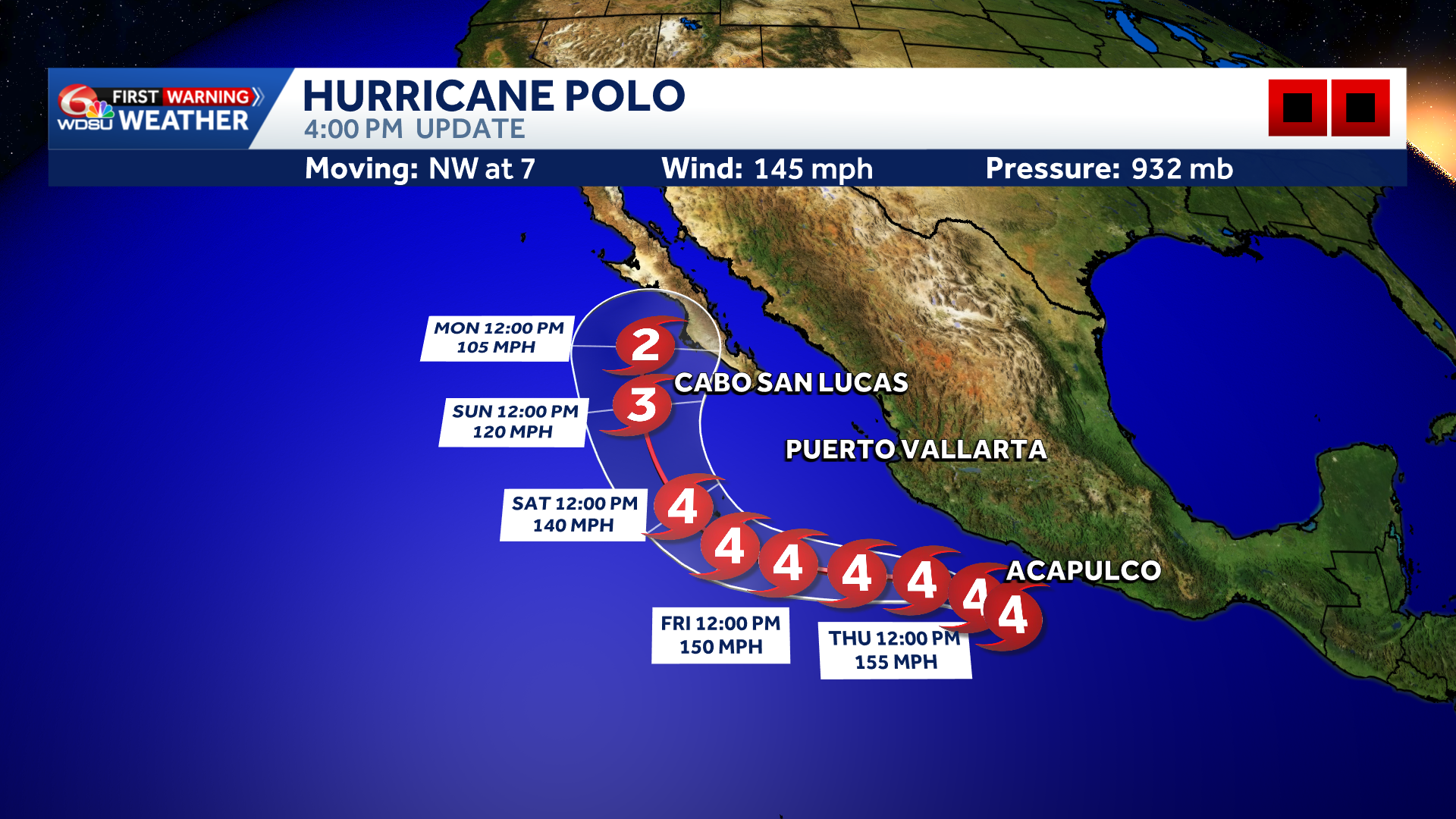
Hurricane Polo is now a Category 4 storm with maximum sustained winds of 145 mph. However, Polo could regain Category 5 strength as it begins moving northwest, roughly parallel to Mexico’s coast.
The good news? Model guidance continues to keep Polo offshore for the next five days. After that, the storm may begin turning northeast toward Baja California Sur by Sunday or Monday. Polo will likely be much weaker by then, but residents and travelers should monitor it closely this weekend.
Models remain split on the eventual track, but Cabo San Lucas and La Paz could begin seeing impacts late Saturday into Sunday. Exactly where and when remains uncertain, but large waves, increased surf and swells, gusty winds, and heavy rain are possible.
The degree of impacts will depend heavily on Polo’s track. A closer pass would bring greater impacts, while a track farther out to sea would lower the threat. Stay tuned for updates.
READ MORE:Category 4 Hurricane Polo stays offshore for now, but Baja California Sur should watch closely