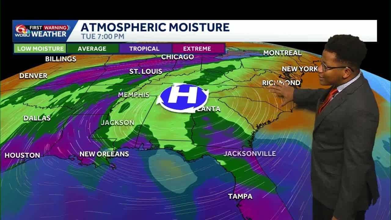
Quiet conditions across Southeast Louisiana and southern Mississippi will give way to building heat early next week before drier air brings a welcome relief by Thursday.
Over in the tropics, conditions remain remarkably calm across the North Atlantic, with no active systems expected over the next seven days. Part of the reason for the quiet Atlantic season is an active Pacific basin, driven in large part by strong El Niño conditions.
Local radar remained clear Saturday evening, setting up a warm and muggy night across the region. Evening temperatures in the low 80s will drop into the upper 70s overnight into early Sunday morning.
Sunday will feature mostly dry weather, though an isolated pop-up downpour or thunderstorm cannot be ruled out during the heat of the afternoon. Rain chances remain capped at 10% to 20%, meaning the vast majority of Southeast Louisiana and coastal Mississippi will stay dry.
Heading into the workweek, an upper-level heat ridge will build directly across the Southeast. The high pressure system will suppress storm activity while cranking up afternoon temperatures into the mid-90s through Wednesday.
High humidity levels will push heat index values between 107 and 110 degrees as early as Sunday afternoon. Heat advisories may become necessary early in the week, making heat safety and staying hydrated a top priority for outdoor activities.
Relief arrives by mid-to-late week as the heat ridge shifts west. That movement will allow a surge of drier air from the east coast to wrap around the high, lowering humidity and bringing noticeably more comfortable conditions by Thursday and Friday.
Toward the end of next week, an approaching low-pressure system will begin increasing cloud cover and rain chances, bringing afternoon high temperatures back down toward the lower 90s.
READ MORE:Drier days ahead: Louisiana’s weather forecast keeps low rain chances through the week





