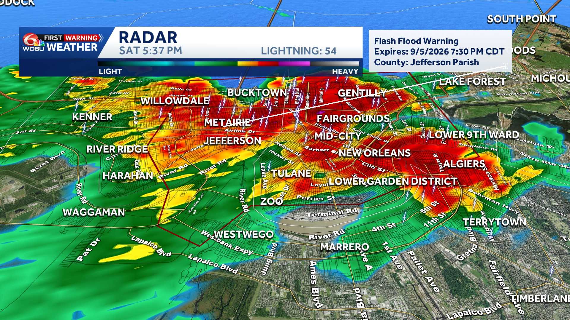
The National Weather Service in New Orleans issued a flash flood warning Saturday evening for portions of Jefferson and Orleans parishes as heavy thunderstorms swept through the region, dropping up to 2.5 inches of rain in a short period.
The warning, in effect until 7:30 p.m. CDT, covers north central Jefferson Parish and west central Orleans Parish in southeastern Louisiana.
At 5:30 p.m. CDT, Doppler radar indicated strong thunderstorms producing heavy rainfall across the affected area. Forecasters warned that an additional 1 to 3 inches of rain could fall before the storms taper off, creating rapid runoff and immediate flash flooding risks.
Flash flooding is ongoing or expected to begin shortly in low-lying and poor drainage areas, urban centers, highways, streets, and underpasses, as well as along small creeks and streams.
Locations expected to experience flash flooding include New Orleans, Metairie, Jefferson, Westwego, Bridge City, Elmwood, and Lakefront Airport.
READ MORE:Flash Flood Warning issued for New Orleans Metro until 7:30 pm





