Moving into Saturday, dry conditions are anticipated early in the morning before scattered pop-up showers and thunderstorms redevelop after 1 p.m. The activity will fade by mid-evening, around 7 to 8 p.m. High temperatures will reach the low 90s.
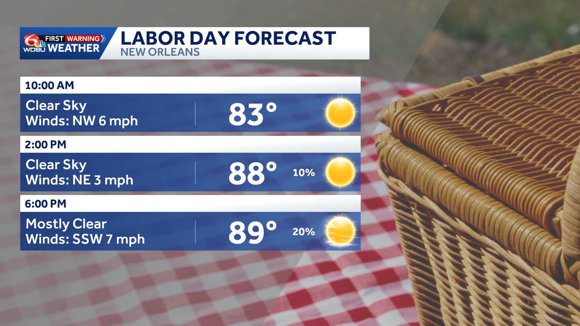
A similar weather pattern will persist through Sunday and Labor Day. High levels of atmospheric moisture mean any slow-moving or training storms could drop heavy rain rates over short periods, prompting a Level 1 Marginal Risk for localized flooding across the region through Monday morning.
For Labor Day on Monday, expect typical late-summer heat with a high temperature around 94 degrees and a 50% chance of scattered afternoon thunderstorms.
Beachgoers heading toward the Mississippi, Alabama, or Florida Gulf Coasts will see favorable conditions, with a low risk of rip currents maintained throughout the holiday weekend.





