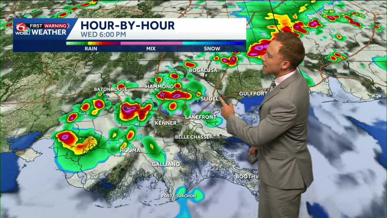
Wednesday is a WDSU First Warning Weather Impact Day for a few spicy afternoon thunderstorms along with hot conditions.
High temperatures will be in the low to middle 90s for many area, a few mid-upper 90s possible on the Northshore. Heat index values 102-108 possible ahead of any afternoon storms.
A few weak upper-level impulses will be in place through the rest of the week to help increase the chances of daily wet weather. An isolated strong or severe storms is possible with gusty winds, lightning and localized heavy rain.
Weather impact days are up through Saturday, mainly for the threat of heavy rain that could lead to flooding. The Weather Prediction Center has placed a Slight Risk(Level 2 out of 4) for flash flooding on Thursday, and we will need to watch for increased rain coverage.
READ MORE:Impact Day Wednesday: Isolated strong storm possible, daily storm chances ahead





