The updated Atlantic hurricane season outlook from the National Oceanic and Atmospheric Administration brings welcome news for the Gulf Coast, with forecasters lowering projected storm numbers well below seasonal averages. At the same time, our daily summertime rain pattern will persist across southeast Louisiana, boosted by a tropical wave early next week.
Here is what you need to know about NOAA’s updated outlook and our local forecast heading into next week.
NOAA Lowers Hurricane Season Projections
NOAA’s updated seasonal outlook reflects a noticeable downward revision in tropical activity, largely driven by atmospheric shifts stemming from ongoing El Niño and La Niña cycles:
- Named Storms: NOAA now projects 7 to 13 named storms by the end of the season (compared to the seasonal average of 14). Only two named storms have formed so far this year.
- Hurricanes: The updated forecast calls for 2 to 6 hurricanes (average is 7).
- Major Hurricanes: NOAA estimates 0 to 2 major hurricanes (Category 3 or higher), compared to an average of three.
While reduced forecasts are encouraging news for coastal residents, it only takes one storm to impact a region, so personal preparedness plans should remain in place.
Daily Rain and Thunderstorm Pattern Continues
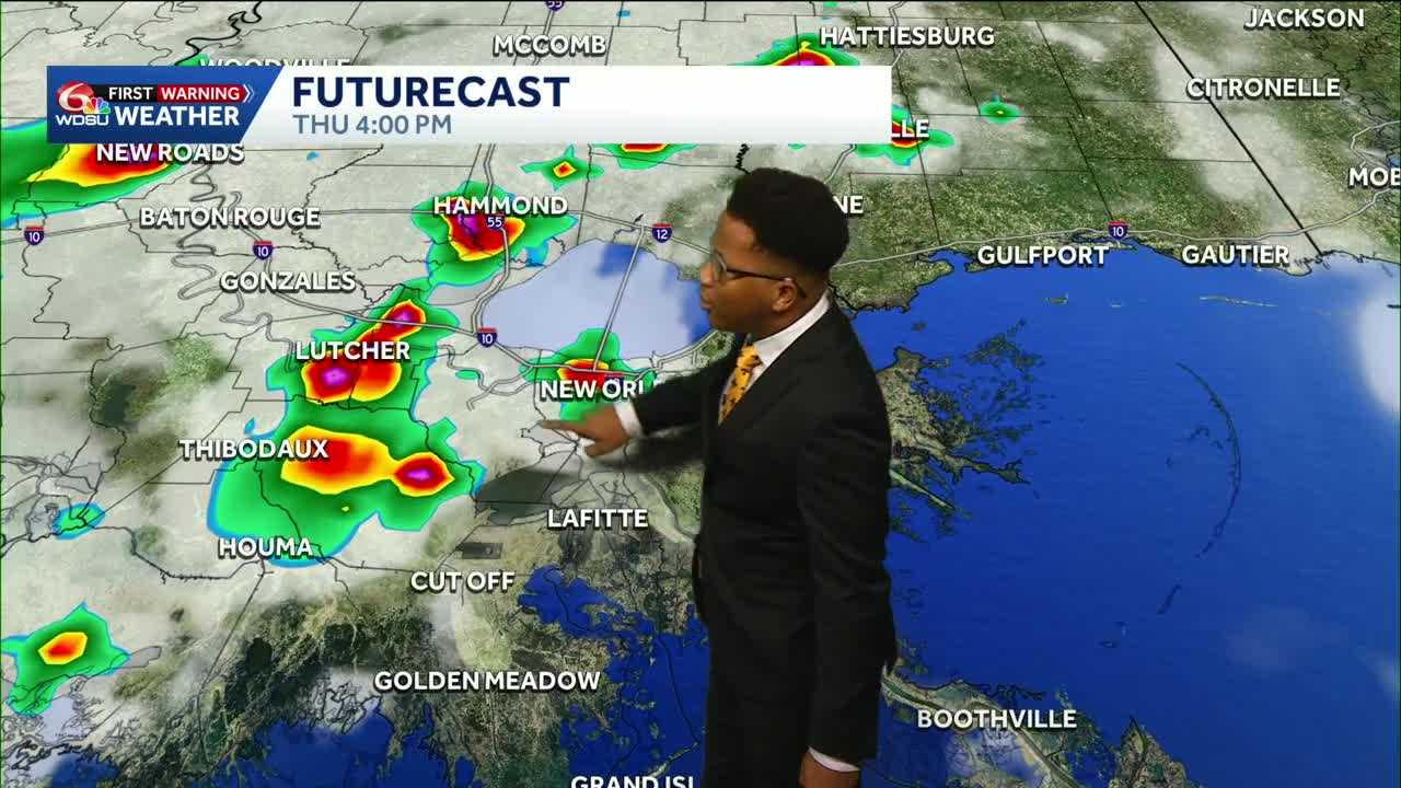
Locally, southeast Louisiana remains locked in a typical August weather regime, with scattered morning coastal showers moving inland by afternoon.
- Bayou Parishes and Coastal Areas: Isolated downpours continue across Terrebonne, Lafourche and Plaquemines parishes. If you hear thunder, head indoors immediately.
- St. Bernard Parish: Activity east of Hopedale and Shell Beach is pushing slowly westward, with localized marine conditions capable of producing brief waterspouts.
- Northshore: Heavier thunderstorm clusters are focused near Baton Rouge, with isolated downpours pushing through Tangipahoa, Washington, and St. Tammany parishes.
Shower activity will peak each afternoon before tapering off by mid-to-late evening, followed by overnight clearing. High temperatures will top out in the upper 80s to low 90s, with heat index values reaching the mid-to-upper 90s. Overnight lows will hold steady in the mid-70s.
Looking Ahead: Tropical Wave Brings Rain Early Next Week
Rain chances will increase Monday and Tuesday as a tropical wave tracks into the northern Gulf.
While the system is not expected to bring severe weather or damaging winds, it will push additional tropical moisture into our area.
Overall rainfall totals over the next seven days are forecast between 0.5 to 1 inch, though brief downpours could elevate localized standing water risks in low-lying areas.
READ MORE:Summer Storms: Daily heat and downpours continue in Louisiana, new hurricane forecast





