After days of oppressive heat and thick humidity across Southeast Louisiana and Southern Mississippi, a welcome change in the weather pattern is moving into the region.
A cold front pushing southward will trigger overnight rain and scattered thunderstorms before ushering in drier air just in time for the back-to-school week.
Overnight Storm Timeline
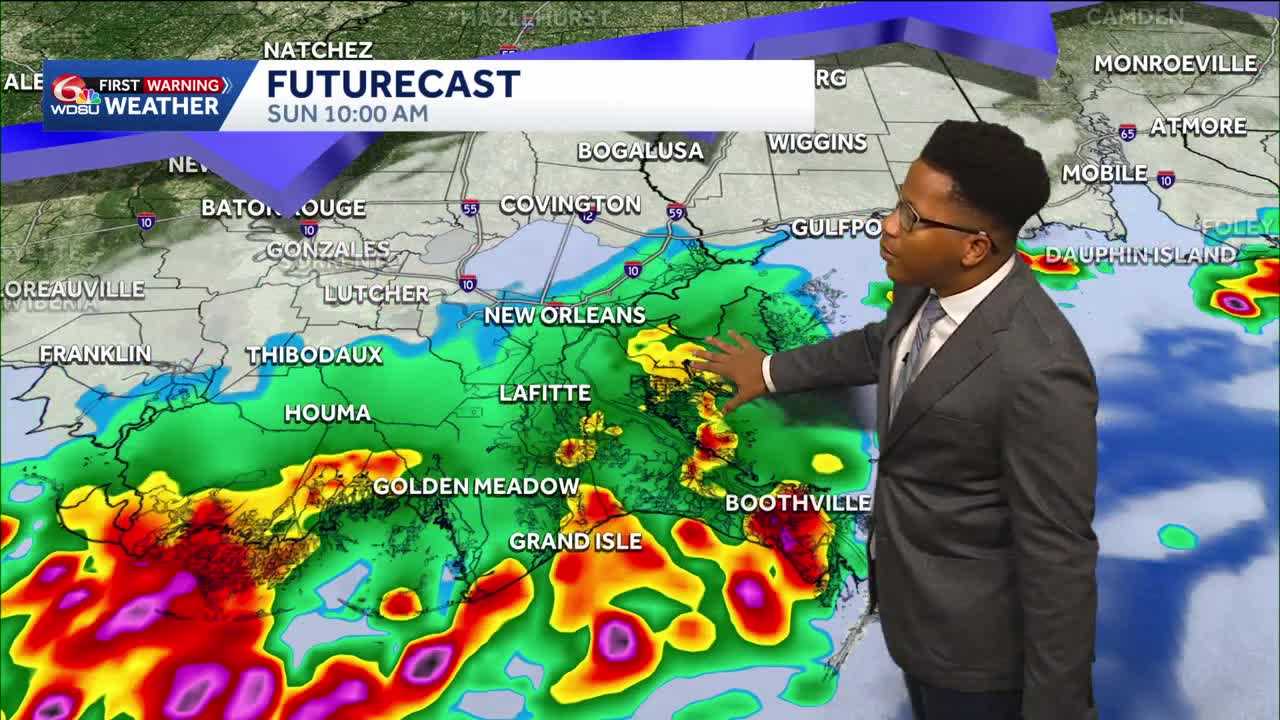
Sunday is a WDSU First Warning Weather Impact day as heavy rain and storms sweep across Southeast Louisiana and Southern Mississippi
The Weather Prediction Center outlines a level 2 of 4 flood risk across the southshore, representing a higher chance for localized flooding Sunday morning.
While Saturday evening remains mostly dry with lingering humidity from onshore winds, rain chances will steadily increase overnight as the front approaches.
- 4:30 a.m. Sunday: The first scattered showers and isolated downpours will begin reaching parts of the Northshore.
- 7:30 a.m. Sunday: Storms will cross Lake Pontchartrain into the Southshore, pushing through Terrebonne, Lafourche, Orleans and St. Bernard parishes.
- 10:00 a.m. to Afternoon: Rain will transition to lighter, scattered showers into the early afternoon before clearing out completely from north to south by 5 p.m.
Rainfall totals will vary across the area. The Northshore can expect between 0.10 and 0.25 inches of rain, while the Southshore could see between 0.5 inches and 2 inches in areas that experience heavier downpours.
Relief in Time for School
Behind the front, a noticeably drier air mass will take hold. While humidity at the surface will linger slightly, upper-level moisture will plummet, effectively shutting down shower activity for the first half of the workweek.
Rain chances will drop to just 10% Monday through Wednesday, offering clear, sunny conditions for students and parents heading back to school. Morning temperatures on Monday will feel significantly more comfortable, dropping into the low 70s across parts of the Northshore and the upper 70s around Greater New Orleans. Daily high temperatures will stay in the low to mid-90s.
Tropical moisture will gradually return from the Gulf of Mexico toward the end of the week, bringing rain chances back up to 30% Thursday, 40% Friday and 50% by next weekend.
READ MORE:Overnight Storms: Louisiana’s weather forecast brings a cold front before the back-to-school week





