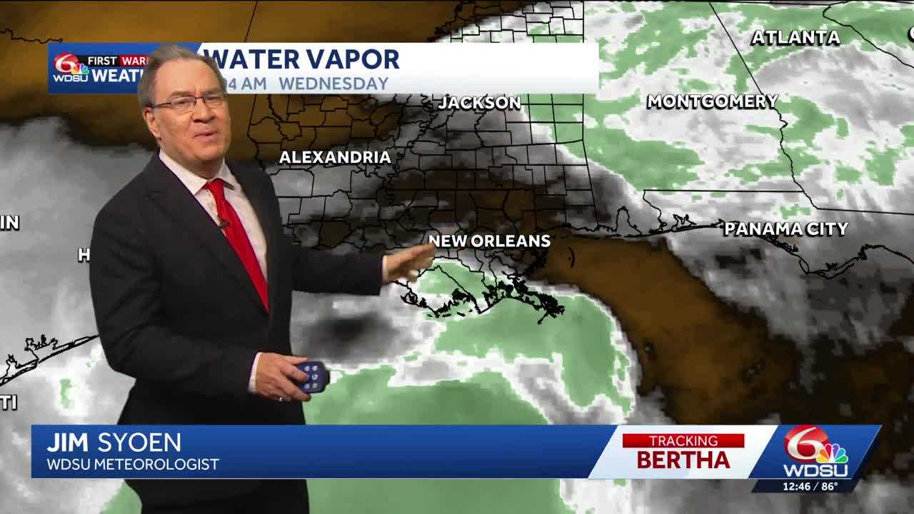
Today is a WDSU First Warning Weather Alert Day as we have several warnings, watches, and advisories in places.
There are Tropical Storm Watches and Warnings in place for half of Southeast Louisiana. We could see impacts such as strong winds and rounds of storms throughout the day. Wind gusts could get up to 30+ mph inland and near 60 mph along the coast. We could see heavy rounds of rain throughout the afternoon with the heaviest expected along the coast.
Second, we could see coastal flooding today. With Tropical Storm Bertha pushing in, we could see storm surge 1-3 feet along the Mississippi coast down to the mouth of the Mississippi River, over the lakes and along the Gulf coast.
Scattered storms are expected to continue through the overnight hours into early Thursday and Thursday afternoon. Some of these could be on the heavy or strong side as the system continues to move to the west.
Rain chances for the rest of the week after Thursday will be in the 20-30% range along with highs in the mid 90s.
READ MORE:Alert Day: strong winds, heavy rain, storm surge expected from Tropical Storm Bertha





