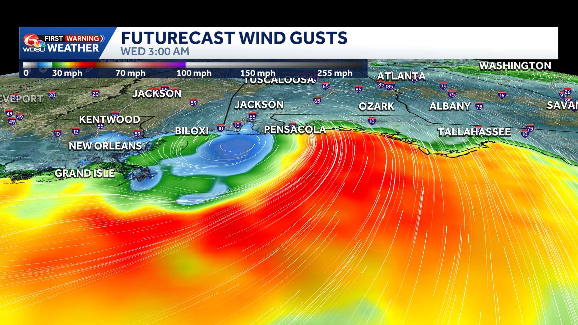
The National Hurricane Center forecast track and cone of uncertainty shifted slightly south with Tropical Depression Two. Tropical Storm Bertha likely to form tonight or Monday. Eyes from Texas, Louisiana, Mississippi, Alabama and Florida should monitor closely.
We’re not in “panic mode”, we’re in “watch mode” as the concern for impacts is growing along the Gulf Coast. The degree of impacts remains uncertain, and highest impacts likely in coastal zones. Let me explain:
1. Wind shear will hinder Tropical Depression Two from rapidly intensifying in the short term. Tropical Storm status appears most likely over the next 48 hours. A hurricane can’t be completely ruled out by mid week, but it’s still less probable at this time. National Hurricane Center mentions a higher than usual degree of uncertainty with the system’s intensity. Here’s why:
2. Northerly wind shear may increase by Tuesday, which could pivot the “dirty side” of the storm on the southern flank of the storm. Heaviest rain may fall over the open waters of the Gulf, though some heavy storms possible in southeast Louisiana/Mississippi on Tuesday-Wednesday.
3. If the system is able to survive the increase in shear by Tuesday and it’s still over water, conditions may become more favorable for strengthening. A hurricane can’t be ruled out if the system takes a more south/western track, south of Louisiana’s coast. Something to monitor closely, especially for oil rigs/platforms and coastal flooding issues.
4. Hurricane Hunter recon investigated earlier today, and that data will be ingested into model guidance tonight. This new model data will hopefully give us a clearer projection on the system’s future path and intensity. Stay tuned.
READ MORE:Tropical Depression 2 forms, likely to become Bertha. How Louisiana should prepare





