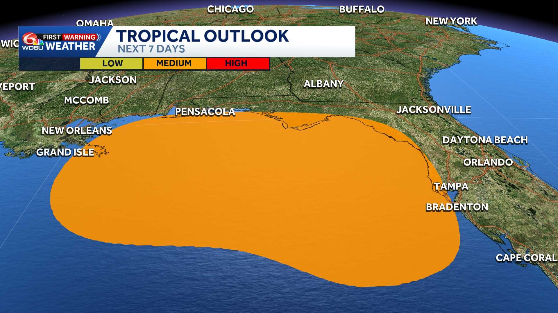
The area of cloudiness in The Gulf that the National Hurricane Center has been watching has now been classified as Tropical Wave Invest 91-L.
According to The National Hurricane Center, it is drifting north northwest 2 mph, with winds at 25 mph, and it’s obviously not very well organized.
As the day goes on, we will likely get more spaghetti plot computer models that may take this disorganized system in different directions. It is important to point out that there is a lot of upper level wind shear with this area of low pressure, and it appears to only be a rainmaking storm at best. It may increase the chance of rain for Florida this weekend, and our chance for rain may go up a bit by Monday and Tuesday.
We will watch this area of low pressure closely and monitor The National Hurricane Center as well.
If is becomes a Tropical Storm, it will be named Bertha.
READ MORE:Gulf Watch: Invest 91-L now has a medium chance for development





