Gulf Coast Watch: Invest 91L Shows Development Potential
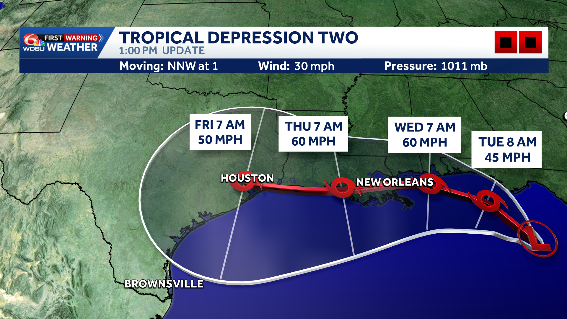
We will continue to monitor , a tropical disturbance in the northern Gulf of Mexico, designated as Invest 91L. Over the last 24 hours, the system’s probability for tropical development over the next seven days has moved up to 80%
Wind Shear Holding the System in Check
Satellite imagery shows a very messy, fragmented structure rather than a classic, tightly coiled tropical system. This lack of organization is primarily due to strong wind shear currently cutting through the northern Gulf.
Even as the system drifts northward over warmer waters, persistent wind shear is expected to limit its overall intensification. We do not anticipate this becoming a highly severe or deeply powerful storm, but it remains a significant moisture producer.
Spaghetti Models and Potential Tracks
Spaghetti models are currently clustering around a northward trajectory, aiming primarily toward the Florida Panhandle and southern Alabama. However, considerable uncertainty remains regarding its final destination once it lingers in the northern Gulf:
- An Eastern Shift: If the system holds its current course toward the Florida Panhandle and western Florida coast, it will bring 30–40 mph wind gusts, heavy downpours, and localized storm surge through Monday.
- A Western Shift: Should the system track further west toward New Orleans, rainfall totals for southeast Louisiana would increase significantly.
READ MORE:Gulf Coast Watch: Invest 91-L could become Tropical Storm Bertha in the next few days





