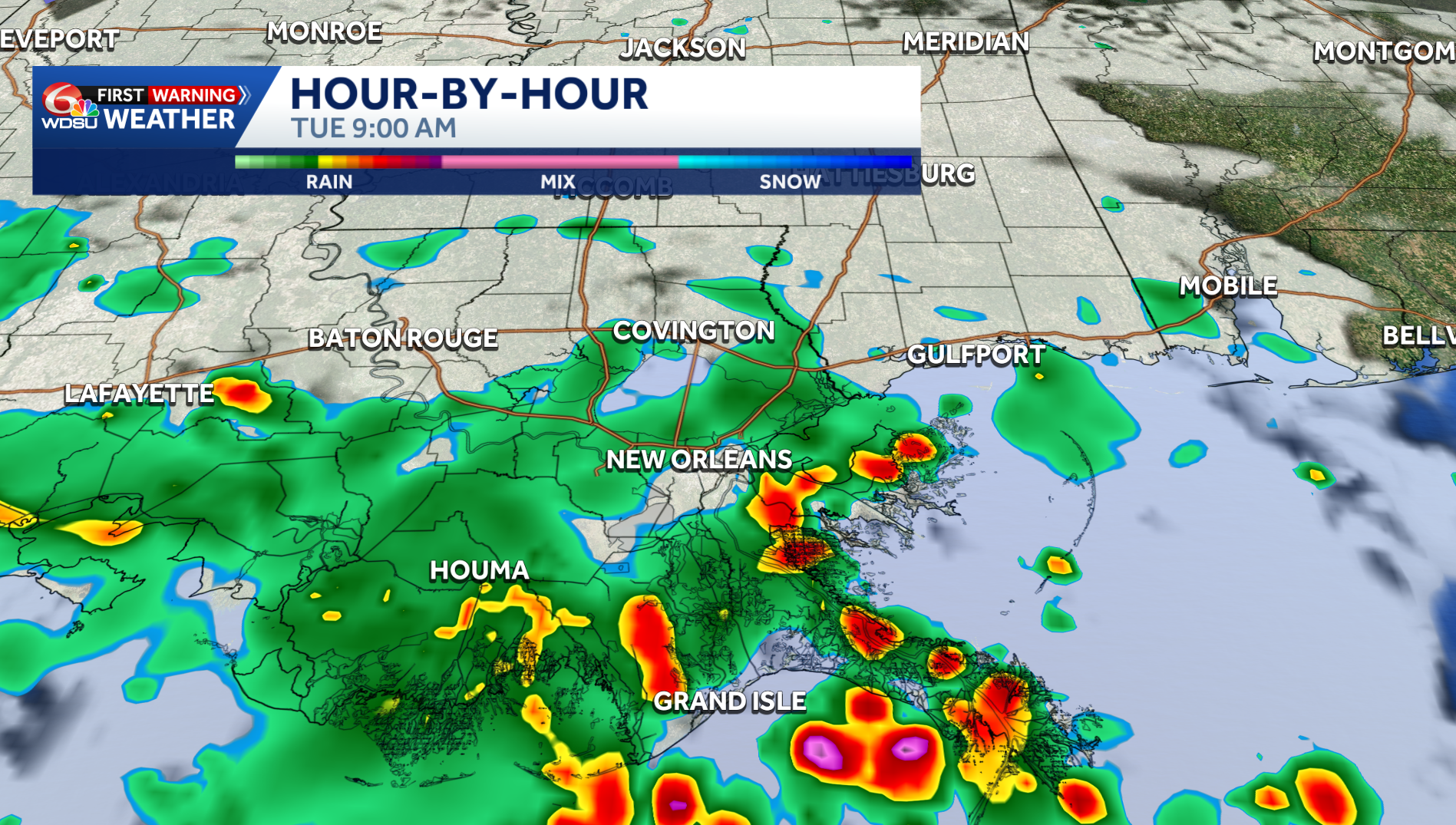
Today is a WDSU First Warning Weather Impact Day due to the potential for heavy rain and localized flash flooding.
There is a Flood Advisory in effect for Terrebonne Parish until 10:30 a.m. Almost an inch of rain has fallen with another 2-3 expected for the next few hours. Flooding could become an issue.
Rain continues to push through the area this morning with a few spots possibly at risk so see some flash flooding. Most of the activity has been on the Southshore. A few spots have already seen flood advisories. More are possible.
The Weather Prediction Center has placed a Level 1 out of 4 for flash flooding across southeast Louisiana and south Mississippi. Isolated hot spots 1-3″ of rain possible.
Heavy rain and storms will continue to move through much of the area. There could be a brief break in the afternoon. Mostly cloudy skies are expected today, but if sunshine arrives in the afternoon, we could see a few more storms arrive.
Rain coverage starts to decrease Wednesday before much drier weather by Thursday and into the weekend. It will get HOT as the rain chances subside with triple digit feel-like temperatures back in the forecast.
The good news? Drier days are on the way! High pressure will begin to build in by Wednesday/Thursday. That pattern shift will lead to drier weather and hotter temperatures.
READ MORE:Impact Day Today: Flood advisories in effect as heavy rain falls this morning





