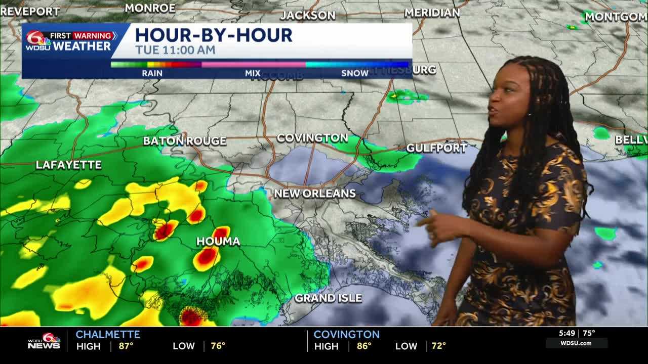
Today is a WDSU First Warning Weather Impact Day to the threat for heavy rain that could lead to localized flooding. It’s a low-end threat, but it is something we’re watching.
Rain is expected for the morning commute. Some of these showers could be on the heavier side. There may end up being a brief break in the rain closer to noon.
Highs today reach 85-87 degrees because of clouds and rain. If we do get a little bit of sunshine, we could see a few more storms pop in the afternoon.
Lows tonight fall to 71-76 degrees.
By Wednesday into the weekend, we return to the typical summertime pattern. Afternoon rain chances with highs in the low 90s. By the weekend, we could be approaching the mid 90s, feeling like 105+. We could be talking about heat advisories.
READ MORE:Impact Day: Rainy morning commute, more showers possible later, some heavy





