IMPACT DAYS SATURDAY – TUESDAY
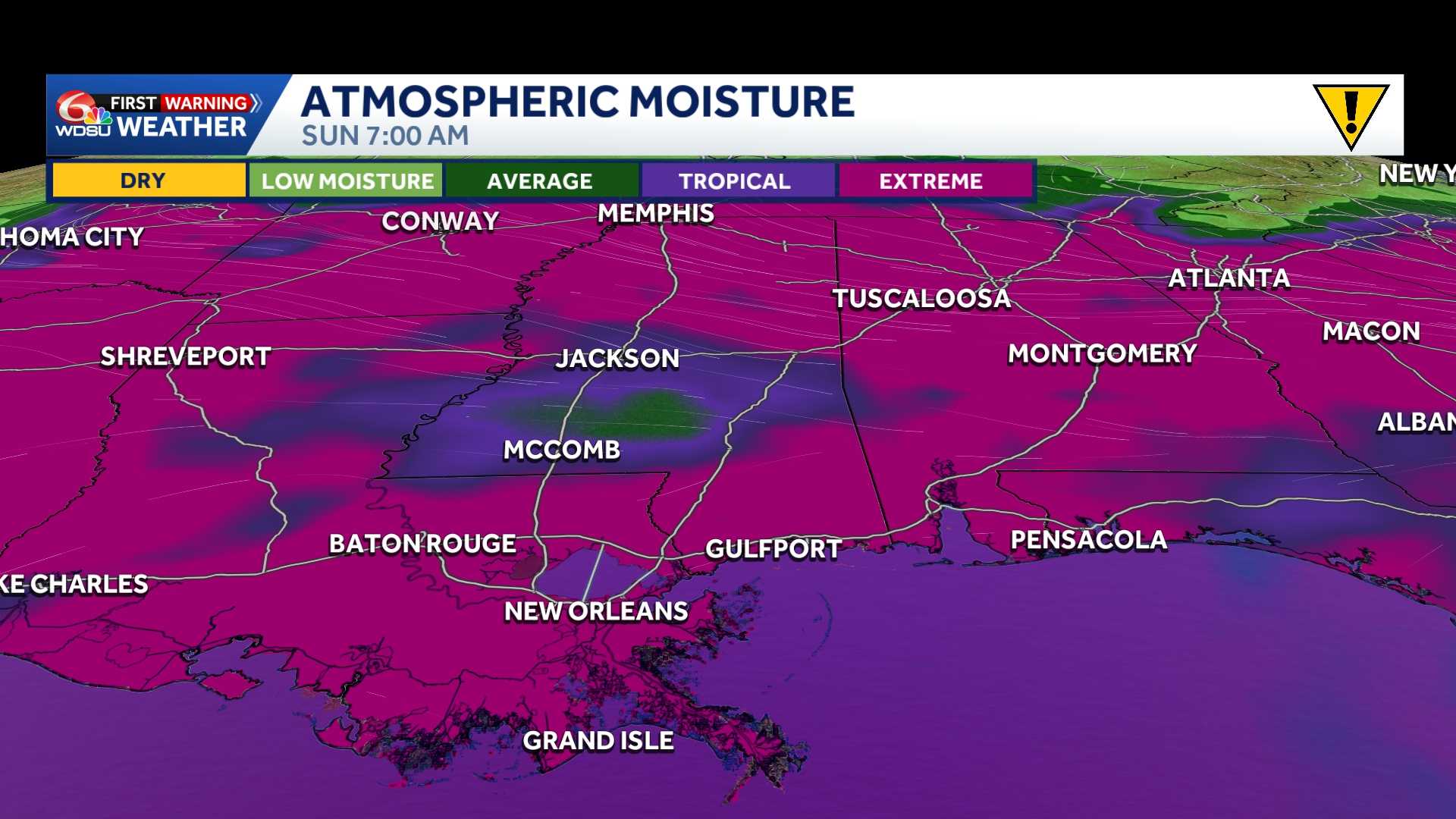
Saturday through Tuesday are all WDSU First Warning Weather Impact Days as rain chances becomes elevated with tropical moisture surging into the state. The moisture will be wedged between a cold front and higher pressure, keeping the southeast soaked.
The best chance for rain and thunder starts during the afternoon, with warmer temperatures. The day with the highest potential for rainfall lands on Monday of next week. Louisiana could see more than two to three inches of rainfall over the next seven days.
The National Hurricane Center outlines no tropical development over the next seven days, as highs stick around in the 90s back here at home.
READ MORE:First Warning Impact Days Saturday to Tuesday: Tropical downpours this weekend





