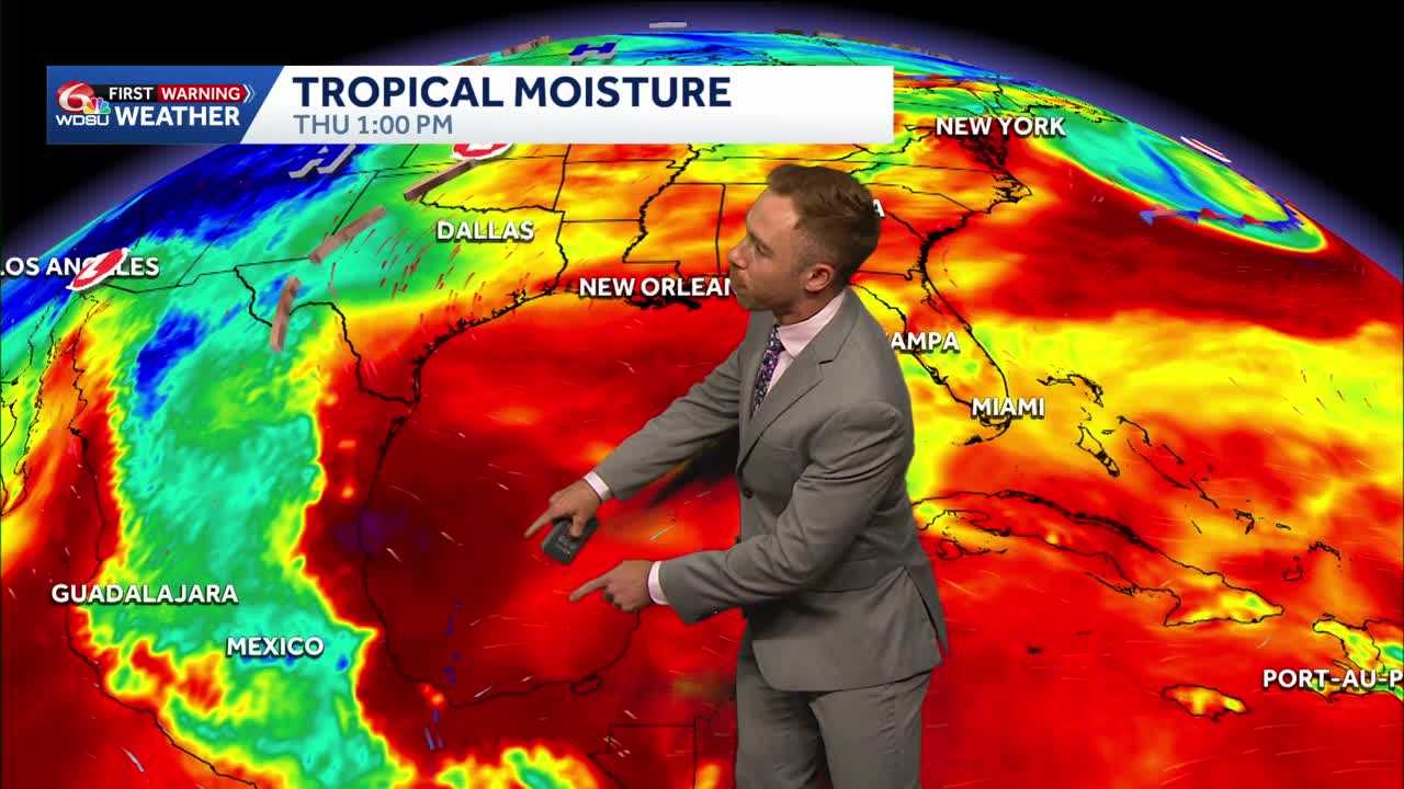
Expecting sporadic downpours Thursday-Friday along the Gulf Coast, Southeast Louisiana and South Mississippi. Not everyone will see rainfall, but any storms that develop will be capable of locally heavy rain, frequent lightning and brief gusty winds.
Aside from the daily chance for storms, it will be hot and muggy. Highs in the lower 90s with heat index values in the 101-108 range.
An early heads up! Saturday, Sunday, and Monday are now WDSU First Warning Weather Weather Impact Days due to the localized heavy rain risk and possible flooding.
I’m watching a nearby front that will tap into increasing tropical moisture by this weekend into early next week.
This setup could fuel more scattered to numerous thunderstorms, especially by late Saturday-Monday. Localized heavier rain and flash flooding may become a concern. In addition, a few storms with gusty winds, intense lightning and tropical waterspouts possible over coastal waters.
Widespread 1-3″ of rain likely over the next 7 days with hot spots of 5+ inches likely. Stay tuned.
READ MORE:Tracking increasing rain chances along the Gulf Coast this weekend





