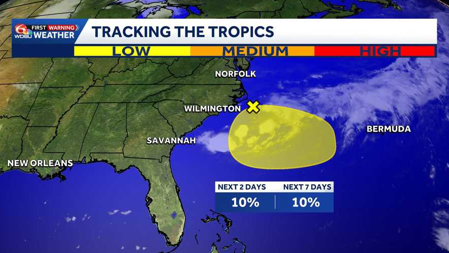
The National Hurricane Center continues to monitor an area of low pressure expected to form along a frontal boundary off the Southeastern U.S. coast. over the next couple of days.
While the system has a low chance of tropical development over the next seven days, it is expected to drift south and then west toward the Gulf.
Local Weather Impacts
Although significant development is unlikely, the system will pull moisture into our region, raising the chance of showers and thunderstorms by the middle of this week.
- Timeline: Increased storm chances Tuesday with the rainiest day being Wednesday.
- Hazards: Storms on Tuesday and Wednesday could become strong, bringing gusty winds and pockets of heavy rain.
- Model Outlook: The most reliable computer models show no significant intensification through midweek.
Stay Weather Aware: Download the WDSU app for live radar updates and the latest forecasts as this system approaches.
READ MORE:Tracking the Tropics: Chances for development remain low off the Southeastern U.S. coast


