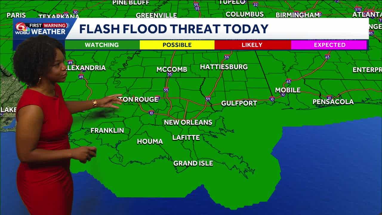
Today is a WDSU First Warning Weather Impact Day because of another risk for flash flooding due to the potential for heavy rain later this morning into the afternoon.
After days of heavy rain, the ground remains saturated. This means that any additional rainfall could lead to quick issues when it comes to flooding.
Heavy rain could occur by mid morning through the afternoon.
Most will eventually come to an end by the evening.
Highs today reach the low to mid 80s.
Overnight lows reach the low to mid 70s.
More rain is possible Friday, but the flood threat has shifted more to the east.
There is the possibility that rain will end up being limited, but heavy downpours are still possible.
As we get to the weekend, we will likely enter a more summertime pattern with daily afternoon showers
READ MORE:Impact Day continues for your Thursday forecast as more heavy rain is possible throughout the day





